What is recorded here
On top of a broad ridge running N-S, in a field under tillage. This enclosure has been levelled and is visible as a roughly circular crop-mark on an aerial photograph (Gillian Barrett 20 August 1991). The monument is visible as a raised area, roughly circular area (diam. c. 53m E-W) with a slight dip at the base of this area in the E and W quadrant. According to the landowner the enclosure was levelled c. twenty years ago. The enclosure is marked as an oval area on the 2nd (1906) ed. OS 6-inch map, partially incorporated in a field boundary in the S quadrant, and is depicted in the centre of an open field on the 1st (1840) ed. with trees in the interior, a possible tree-ring.
From the National Monuments Service (Archaeological Survey of Ireland) record TS081-022
Places near here
Photo credits
- National Inventory of Architectural Heritage
- Algirdas at Lithuanian Wikipedia, Wikimedia Commons · Public domain
- Sitomon, Wikimedia Commons · CC BY-SA 2.0
- Chmouel Boudjnah Original uploader was Chmouel at fr.wikipedia, Wikimedia Commons · CC BY-SA 3.0
- Mike Searle, Geograph · CC BY-SA 2.0
- Andreas F. Borchert, Wikimedia Commons · CC BY-SA 4.0
- Mike Searle, Wikimedia Commons · CC BY-SA 2.0
- Sarah777, transferred by Lvova, Wikimedia Commons · Public domain
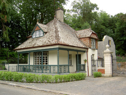 Ballybrada HouseGate lodge · 132 yd
 Pedunculate Oak440 yd
 Site of ChurchChurch · 457 yd
 Thonoge HouseHouse · 1601 yd
 European Yew1654 ydWoodcock HillMountain / peak · 1.5 mi
 Cahir CastleHeritage attraction · 2.1 miSiege of Cahir CastleSiege · 2.3 mi
 Coolbane Castle (in ruins)Castle, tower house · 2.4 mi
 Caher AbbeyHeritage attraction · 2.5 mi
_-_geograph.org.uk_-_1393369.jpg/250px-Castles_of_Munster_-_Ardfinnan,_Tipperary_(2)_-_geograph.org.uk_-_1393369.jpg "Photo: Mike Searle, Wikimedia Commons · CC BY-SA 2.0") Ardfinnan CastleCastle · 2.8 mi
Ardfinnan CastleCastle · 2.8 mi Knockgraffon MotteArchaeological place · 4.7 mi
More archaeology and monuments in County Tipperary · All of County Tipperary
What do you know about this place?Tap to add a comment or ask a question