What is recorded here
In pasture, on NW-facing slope. Shown on 1842 OS 6-inch map as triangular area defined by hachures on two sides; field fence on third. Sub-oval area (15m NW-SE; 21.8m E-W) enclosed by earthen bank (H 1.4m) S->SE; stone field fence SE->S. Interior level with raised strip (Wth c. 5m) along inside of field fence. Low oval mound (L 14m; Wth 10m) adjoins outer edge of bank on SW.
The above description is derived from the published 'Archaeological Inventory of County Cork. Volume 2: East and South Cork' (Dublin: Stationery Office, 1994). In certain instances the entries have been revised and updated in the light of recent research.
Date of upload/revision: 14 January 2009
The monument record does not grant public access. Check the route and ask the landowner before entering private land.
- What survives
- Recorded monument
Places near here
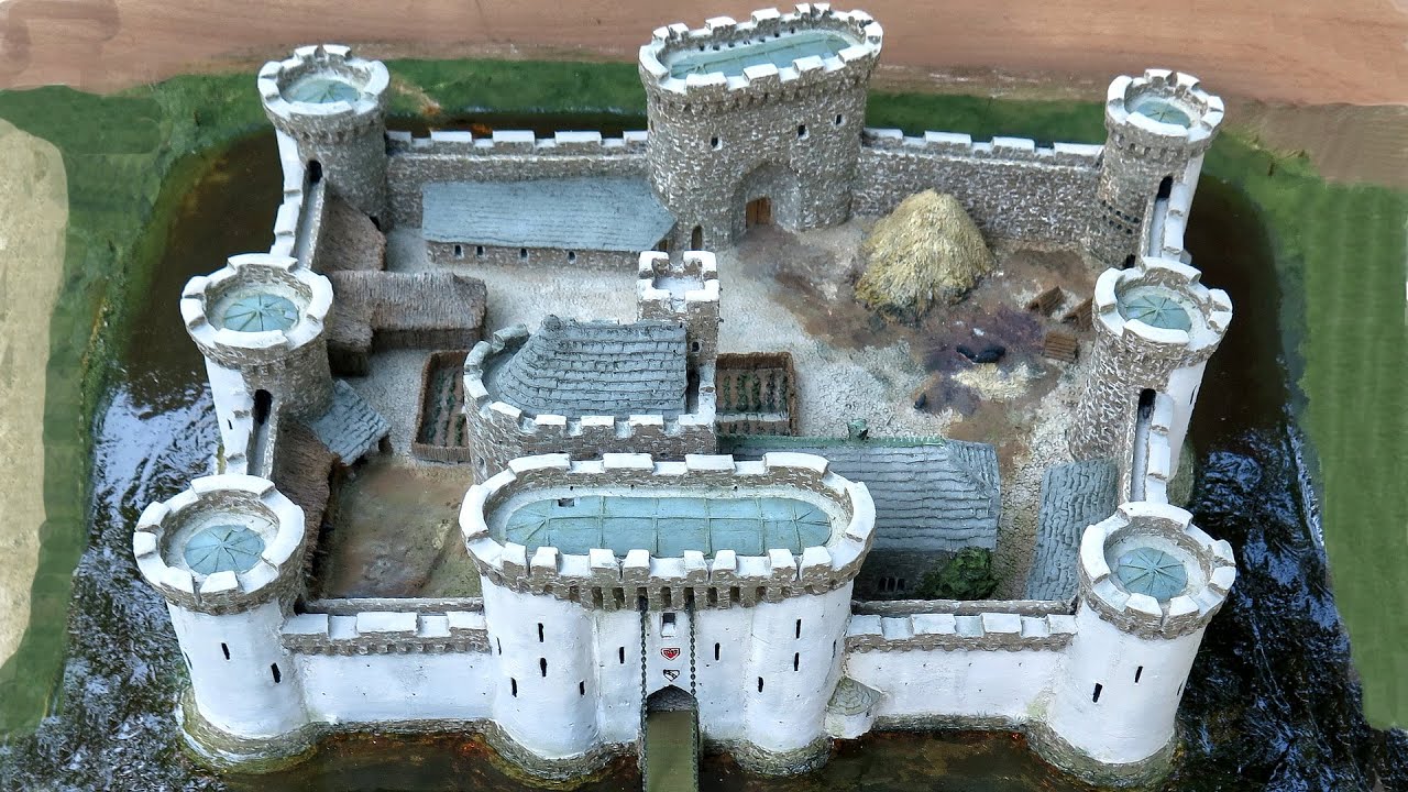 Moated site in Ballynaglogh EastMoated site · 732 yd
 Anomalous stone group in BallynabortaghAnomalous stone group · 1495 yd
 Castle (Site of)Castle, unclassified · 1.1 mi
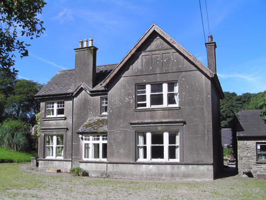 Ballindeenisk Househouse · 1.3 mi
 Graigue BridgeBridge · 1.9 mi
 Graveyard in GlenvilleGraveyard · 2.7 mi
 Castle (in Ruins)Castle, tower house · 2.8 mi
 Graveyard in Killuntin NorthGraveyard · 2.9 mi
 Cork WalksVisitor information · 7.6 mi
 CaveMan-made underground passage · 1708 yd
 Enclosure in BallynabortaghEnclosure · 1713 yd
 Enclosure in Ballynaglogh EastEnclosure · 1.2 mi