What is recorded here
On the E-facing slope of a low ridge in pasture. Depicted on the 1837 ed. of the OS 6-inch map as a tree-covered irregular enclosure formed at the junction of a number of field boundaries. It is represented on the OS 25-inch plan (surveyed 1911) as a circular tree-covered enclosure. It consists of a low hillock (40m NNE-SSW; 38m WNW-ESE) enclosed from E-S-N by a bank of earth and stone and elsewhere defined by a scarp, both of which have been extensively modified and incorporated into the field boundary. From S-W-N there is a shallow fosse at the outer foot of the bank. No entrance is recognisable. At the inner face of the bank at W are the remains of a subrectangular enclosure (LF023-014002-) In addition, a report in 1976 (SMR file) recorded a house site (LF023-014003-) at the inner face of the bank at N. In all probability this is a designed landscape feature associated with Richmount Hill house, c. 320m to SE. Another landscape feature (LF021-015----) lies 220m to SSW.
Compiled by: Patrick F. O'Donovan
Date of upload: 26 August 2011
The monument record does not grant public access. Check the route and ask the landowner before entering private land.
- What survives
- Recorded monument
Places near here
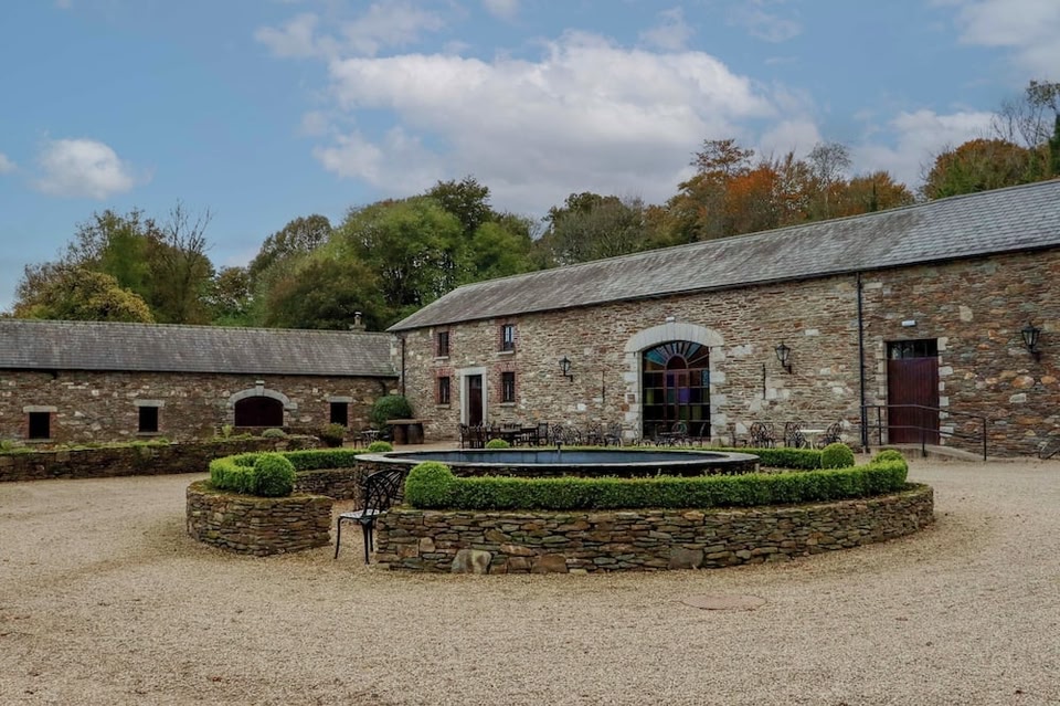 Enclosure in BallybegEnclosure · 272 yd
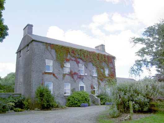 Richmount Hillhouse · 376 yd
 CastleCastle, motte · 381 yd
 IndicatedFairy fort / earthen ringfort · 998 yd
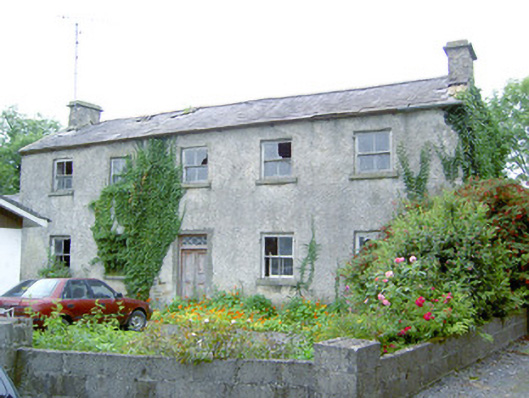 Keel Househouse · 1.3 mi
 DoonphilipCastle, motte · 1.7 mi
 National Famine WayWalking route · 3.2 mi
 Common LimeCommon Lime · 3.8 mi
 Abbeyshrule AbbeyRuins · 3.9 mi
 Goldsmith Birthplace, PallasVisitor information · 4.3 mi
 Newcastle WoodsForest · 4.5 mi
 Target WoodWood · 4.7 mi