What is recorded here
On the N-facing slope of a low hillock in undulating pasture, with good views in all directions. An 18th-century house, named ‘Richmount Hill’, is c. 195m to the SE. Marked on the 1837 and 1914 editions of the OS 6-inch map as a large roughly subrectangular tree plantation (int. dims. c. 67m N–S ; c. 41m E–W). It is defined by an earthen bank mainly reduced to a tree-lined scarp (H 0.5m) with evidence of external stone facing visible in places. There is no evidence of an entrance. An enclosure/building (LF023-015001-) lies in the W half of the interior. (SMR file 1976)
Compiled by: Patrick F. O'Donovan
Date of upload: 13 November 2012
The monument record does not grant public access. Check the route and ask the landowner before entering private land.
- What survives
- Recorded monument
Places near here
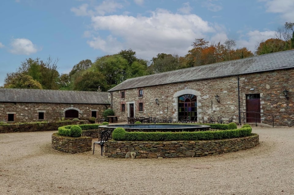 Enclosure in BallybegEnclosure · 1 yd
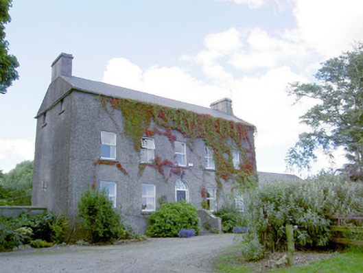 Richmount Hillhouse · 243 yd
 CastleCastle, motte · 304 yd
 IndicatedFairy fort / earthen ringfort · 759 yd
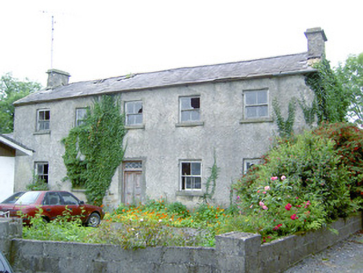 Keel Househouse · 1.3 mi
 DoonphilipCastle, motte · 1.6 mi
 National Famine WayWalking route · 3.2 mi
 Abbeyshrule AbbeyRuins · 3.8 mi
 Goldsmith Birthplace, PallasVisitor information · 4.1 mi
 Newcastle WoodsForest · 4.3 mi
 Target WoodWood · 4.5 mi
 Guest ServicesVisitor information · 4.9 mi