What is recorded here
In pasture, on SE-facing slope. Sub-circular area (diam. 25m) enclosed by earth-and-stone bank (int. H 0.7m; ext. H 1.4m). Bank, best preserved S->W, widens (Wth 5m) and kinks out to a point at W where an abutting field boundary has been removed. Dip in bank (Wth 3m) at SSE. Dry-stone field wall (H 0.9m), runs along top of bank for its entire circumference; wall is best preserved NW->NNE. Interior, under rough pasture, is heavily masked by vegetation overgrowth along E side. It slopes down to SE and outcropping limestone is evident in places.
In pasture, on SE-facing slope. Sub-circular area (diam. 25m) enclosed by earth-and-stone bank (int. H 0.7m; ext. H 1.4m). Bank, best preserved S->W, widens (Wth 5m) and kinks out to a point at W where an abutting field boundary has been removed. Dip in bank (Wth 3m) at SSE. Dry-stone field wall (H 0.9m), runs along top of bank for its entire circumference; wall is best preserved NW->NNE. Interior, under rough…
From the National Monuments Service (Archaeological Survey of Ireland) record LI020-034
This remains an important historical record, but the official description says the monument is no longer visible or has been destroyed. The monument record does not grant public access. Check the route and ask the landowner before entering private land.
- What survives
- No visible remains or recorded as destroyed
Places near here
Photo credits
- National Inventory of Architectural Heritage
- This file is from the Mechanical Curator collection , a set of over 1 million images scanned from out-of-copyright books and released to Flickr Commons by the British Library. View image on Flickr View all images from book View catalogue entry for book ., Wikimedia Commons · Public domain
- Peter Gerken, Wikimedia Commons · CC BY-SA 2.0
- Sitomon, Wikimedia Commons · CC BY-SA 2.0
- Mike Searle, Geograph · Creative Commons Attribution-ShareAlike 2.0
- Wikimedia Commons contributor · Public domain
 Ballinvirick HouseCountry house · 594 ydEnclosure in BallyhibbinEnclosure · 1260 yd
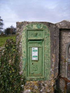 post box1.1 miIndicatedEnclosure · 1.1 mi
_p171_LIMERICK_-_CAPPAGH_CASTLE.jpg/250px-NEWENHAM(1830)_p171_LIMERICK_-_CAPPAGH_CASTLE.jpg "Photo: This file is from the Mechanical Curator collection , a set of over 1 million images scanned from out-of-copyright books and released to Flickr Commons by the British Library. View image on Flickr View all images from book View catalogue entry for book ., Wikimedia Commons · Public domain") Cappagh CastleCastle · 1.3 miFlat cemetery in CroaghFlat cemetery · 2.1 mi
Cappagh CastleCastle · 1.3 miFlat cemetery in CroaghFlat cemetery · 2.1 mi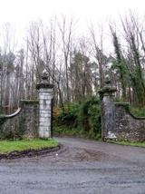 Curraghchase Forest ParkForest · 2.3 mi
 European Yew2.7 mi
 Clonshire CastleCastle · 2.8 mi
 Askeaton CastleHeritage attraction · 3.4 miFlat cemetery in Kiltenan SouthFlat cemetery · 4.5 miTobernablahySpring · 4.9 mi
More archaeology and monuments in County Limerick · All of County Limerick
What do you know about this place?