
What is recorded here
On a low rise in pasture. Depicted as a diamond-shaped enclosure with the designation 'Fort' on the 1837 ed. of the OS 6-inch map. A raised subcircular area (44.5 N-S; 42m E-W) enclosed by a low bank of earth and stone, which has been modified and incorporated into a field boundary. There is no trace of a fosse. A report in 1975 (SMR file) suggested that the original entrance may have been at SW.
Compiled by: Patrick F. O'Donovan
Date of upload: 26 August 2011
This remains an important historical record, but the official description says the monument is no longer visible or has been destroyed. The monument record does not grant public access. Check the route and ask the landowner before entering private land.
- What survives
- No visible remains or recorded as destroyed
Places near here
 Dunclá or Black Pigs RaceArchaeological place · 375 yd
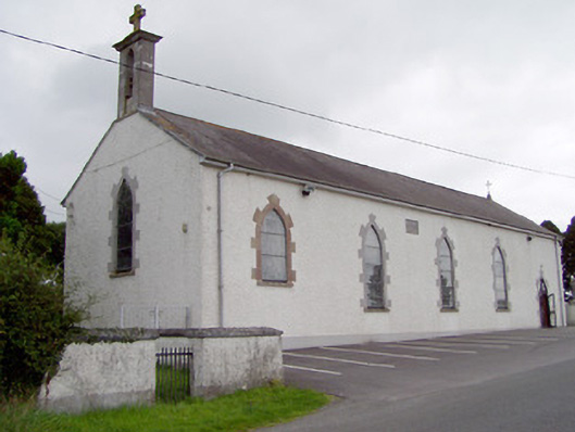 Saint Mary's Catholic Churchchurch/chapel · 462 yd
 Enclosure in CarraghEnclosure · 493 yd
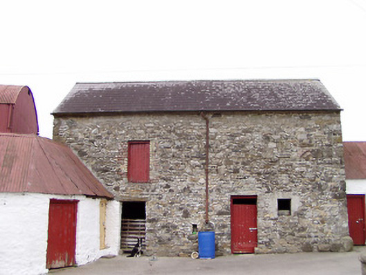 Columbia Houseoutbuilding · 1239 yd
 Bakers FortCastle, ringwork · 1.2 mi
 1798 Monumentmonument · 1.5 mi
 Granard MotteMotte-and-bailey castle remains · 1.6 mi
 CastleCastle, unclassified · 1.6 mi
 CartronfreeMountain / peak · 1.7 mi
 CarrickabaneMountain / peak · 2.9 mi
 Moynagh Upper ForestForest · 3.4 mi
 Carrick RockWood · 3.7 mi
Other information
Photo: Credit not shown in the picture search · Rights wording not checked; contact us if this picture should be removed