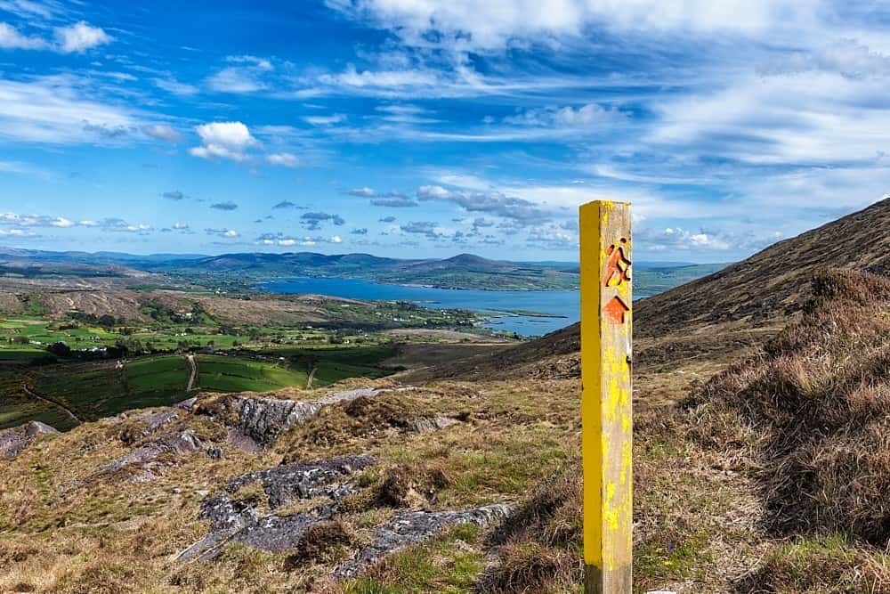
What is recorded here
On S-facing slope in marshy grassland overlooking bogland. Aerial reconnaissance in November 1987 (ASGAP 379:3) confirmed that a number of irregular field walls depicted on 3rd ed. of OS 6-inch map (1933) formed part of a field system covering an area c. 500m N-S by c. 400m E-W. Small rectangular and irregular fields defined by low earthen banks were noted, as well as two small irregular enclosures, possibly animal pens.
The above description is derived from the published 'Archaeological Inventory of County Galway Vol. II - North Galway'. Compiled by Olive Alcock, Kathy de hÓra and Paul Gosling (Dublin: Stationery Office, 1999).
Date of upload: 05 August 2010
The monument record does not grant public access. Check the route and ask the landowner before entering private land.
- What survives
- Recorded monument
Places near here
 Enclosure in Carra (loughrea By.)Enclosure · 1555 yd
 Field system in Carra (loughrea By.)Field system · 1630 yd
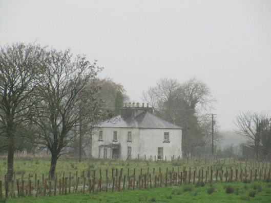 Rathglass Housecountry house · 1.0 mi
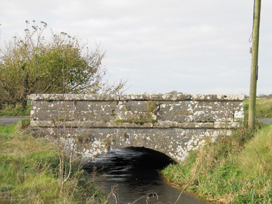 Carra Bridgebridge · 1.2 mi
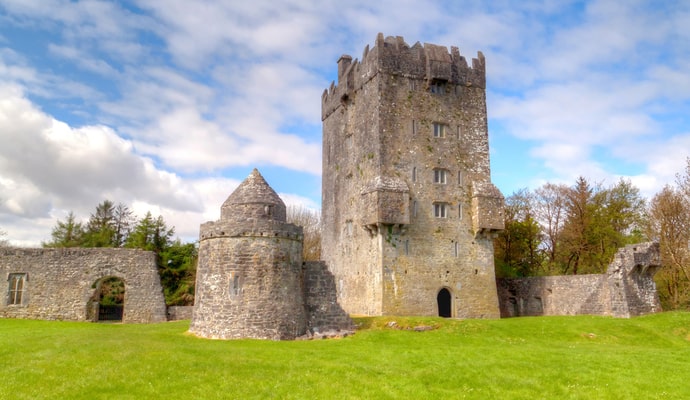 CastleCastle, unclassified · 2.2 mi
 Galboley Castle (in ruins)Castle, unclassified · 2.7 mi
 Turoe StoneHeritage attraction · 2.8 mi
 Woodlawn WoodsForest · 3.7 mi
 Dartfield Horse MuseumHeritage attraction · 3.8 mi
 European Crab AppleEuropean Crab Apple · 4.0 mi
 Battle of Aughrim Interpretative CentreMuseum · 8.0 mi
 Battle of AughrimMajor battlefield · 8.2 mi
Other information
Photo: Credit not shown in the picture search · Rights wording not checked; contact us if this picture should be removed