
What is recorded here
In pasture, 153m W of townland boundary with Ballingayrour and 140m E of townland boundary with Ballincurra. Not marked on 1840 ed. OSi 6-inch map. Depicted on the 1924 ed. OSi Cassini 6-inch map as a small circular-shaped field. and not as an antiquity. Cropmark of circular-shaped area (diam. c. 20m) of wet vegetation visible on Digital Globe orthophotograph taken between 2011-13. No surface remains visible on Google Earth orthoimages. Doubtful antiquity.
See attached Google Earth orthoimages.
Compiled by: Fiona Rooney
Date of upload: 15 April 2021
The monument record does not grant public access. Check the route and ask the landowner before entering private land.
- What survives
- Recorded monument
Places near here
 Fulacht fia in BallingayrourFulacht fia · 545 yd
 ExcavationExcavation, miscellaneous · 664 yd
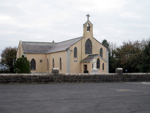 Catholic Church of the Holy Trinitychurch/chapel · 1.1 mi
 post boxpost box · 1.3 mi
 Bawn in MaidstownBawn · 1.6 mi
 Bawn in Ballycullane (kilmallock By.)Bawn · 1.7 mi
 King John's CastleCastle · 3.8 mi
 Lough GurVisitor information · 4.5 mi
 KnockainyMountain / peak · 5.0 mi
 Pedunculate OakPedunculate Oak · 5.3 mi
 Lough Gur Heritage CentreVisitor information · 5.4 mi
 The SpectaclesVisitor information · 5.5 mi
Other information
Photo: Credit not shown in the picture search · Rights wording not checked; contact us if this picture should be removed