
What is recorded here
At the base of an E-facing slope and towards the NW end of a NW-SE ridge, sloping to the NE. There is granite bedrock in the field to the E, including an outcrop 82m to the E hich has plug holes where it was prepared for splitting and then abandoned. Indicated on the 1st ed. 6-inch OS map as an oval enclosure (dims. c. 31m NW-SE; c. 24m NE-SW) with a farm trackway running NW-SE immediately outside the S-SW quadrant. On the subsequent 6-inch OS revision and 25-inch OS map the enclosure is depicted with hachures pointing inwards, which indicates a hollow or depression. This suggests that this was either a quarry or an enclosure which was quarried into and in both scenarios subsequently filled in. A field boundary running NE-SW meets the enclosure at the N quadrant. There are also two smaller field boundaries meeting the enclosure in the SSW and SW sectors. The enclosure is defined NW-S by scarp/earthen bank which in the NNE-S has an external stone revetment, typical of the surrounding field boundaries. In the N sector there is a slight earthen and stone bank which slopes gradually into the interior. The W quadrant is defined by large granite boulders which appear to have been dumped along this side. Much of the interior is heavily overgrown with scrub, with some mature trees growing around the edge. There are a lot of large granite boulders strewn about the circumference and exterior.
Compiled by: Jean Farrelly
Date of revised upload: 21 September 2016
A local fairy fort (ringfort/rath); wider significance not recorded.
The monument record does not grant public access. Check the route and ask the landowner before entering private land.
- What survives
- Recorded monument
Places near here
 Site of CastleCastle, unclassified · 855 yd
 Saint Lazarian's Catholic Churchchurch/chapel · 1079 yd
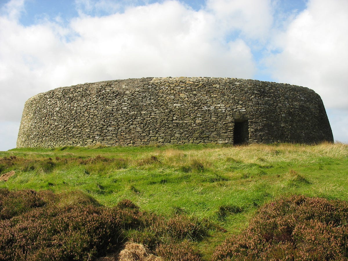 Hillfort in BallinkillinHillfort · 1513 yd
 Enclosure in Kilcumney (idrone East By.)Enclosure · 1533 yd
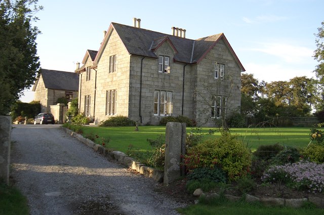 Lorum Rectoryrectory/glebe/vicarage/curate's house · 1735 yd
 Ballyloughan Castle (in ruins)Castle, Anglo-Norman masonry castle · 2.6 mi
 Pedunculate OakPedunculate Oak · 2.9 mi
 Sweet ChestnutSweet Chestnut · 3.1 mi
 The Columban WayVisitor information · 4.4 mi
 Church (in ruins), GraveyardChurch · 4.5 mi
 Lock Keeper's House and Lodge MillsVisitor information · 4.6 mi
 Kilcullaun Church (in ruins), GraveyardChurch · 5.4 mi
Other information
Photo: Credit not shown in the picture search · Rights wording not checked; contact us if this picture should be removed