What is recorded here
Indicated is a fairy fort or earthen ringfort in Ballinderry, County Roscommon, Ireland. It occupies a gentle east-facing slope as a grass-covered D-shaped area measuring 40.3 metres north-south and 40 metres east-west. A rounded overgrown fosse and scarp define the perimeter, while a field wall truncates the northeast edge and a field bank creates a passage to the south-southwest. An underground passage and small clearance cairn remain inside the boundary near the centre.
On a gentle E-facing slope. D-shaped grass-covered area (dims 40.3m N-S; 40m E-W) defined by a rounded but overgrown fosse (at W: Wth of top 8.3m; Wth of base 4.7m; int. D 1.4m; ext. D 1m) WSW-N, and by a scarp (H 0.85m at S to 1.65m) elsewhere. The perimeter of the platform has been truncated at NE by a NW-SE field wall, and the perimeter has been cut back SSE-SW to create a passage between it and a NW-SE field bank. Man-made underground passage (RO035-041002-) is inside the perimeter at N and there is a small clearance cairn (RO035-041003-) (dims 4.6m E-W; 3m N-S; H 0.4m) near the centre. Church (RO035-042001-) is c. 120m to the SE.
Compiled by: Michael Moore
Date of upload: 24 August 2010
The monument record does not grant public access. Check the route and ask the landowner before entering private land.
- What survives
- Recorded monument
Places near here
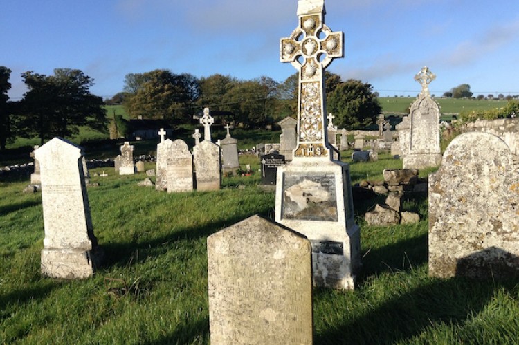 Man-made underground passage in BallinderryMan-made underground passage · 18 yd
 AbbeyChurch · 203 yd
 Settlement cluster in BallinderrySettlement cluster · 251 yd
 Leitrim CastleCastle, unclassified · 1.1 mi
 Grange AbbeyChurch · 2.5 mi
 CastleCastle, unclassified · 3.0 mi
 Slieve BawnMountain / peak · 4.5 mi
 Roscommon CastleCastle · 4.7 mi
 Doughill ForestForest · 4.8 mi
 Common LimeCommon Lime · 5.9 mi
 FerrinchIslet · 6.9 mi
 Ballyclare IslandIslet · 7.5 mi