
What is recorded here
Indicated is a fairy fort in County Cork, an earthen arc rising 1.4m through pasture on a south-facing slope. Its bank has grown so thick with vegetation that it now serves as a field fence, blending human boundary and ancient shape into one living line. Locals still call it a fort, preserving the idea that strength and memory can hide inside ordinary grass.
In pasture, on S-facing slope. Arc (S->NNW) formed by heavily overgrown earthen bank (max. H 1.4m); incorporated into field fence system. Locally known as fort.
The above description is derived from the published 'Archaeological Inventory of County Cork. Volume 2: East and South Cork' (Dublin: Stationery Office, 1994). In certain instances the entries have been revised and updated in the light of recent research.
Date of upload/revision: 14 January 2009
The monument record does not grant public access. Check the route and ask the landowner before entering private land.
- What survives
- Recorded monument
Places near here
 Church (Site of)Church · 557 yd
 Holy WellHoly well · 1309 yd
 Windsor Cottagehouse · 1603 yd
 Country house in Ballynagaul (barrymore By., Kilquane Par.)Country house · 1.1 mi
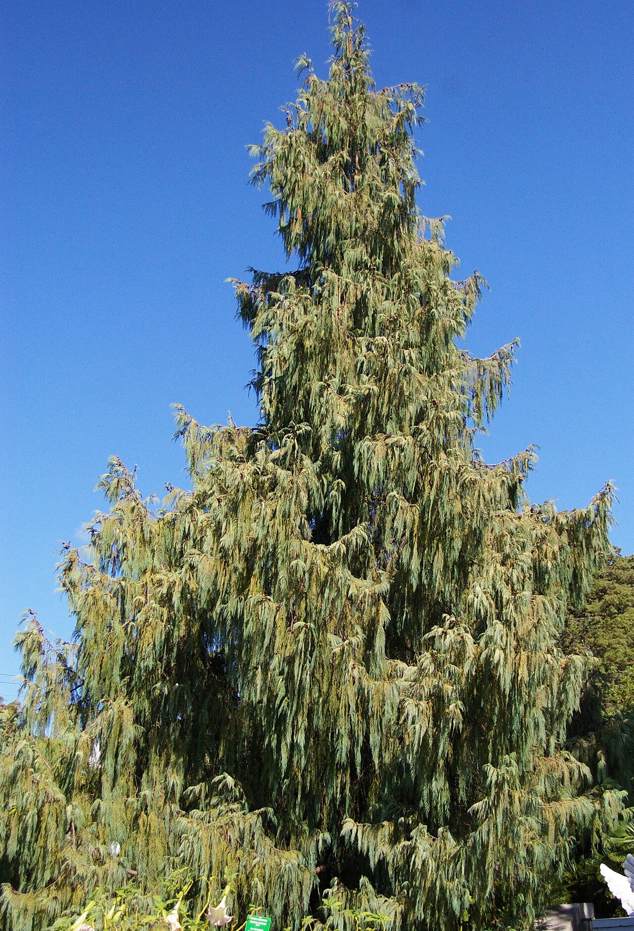 Bhutan CypressBhutan Cypress · 1.6 mi
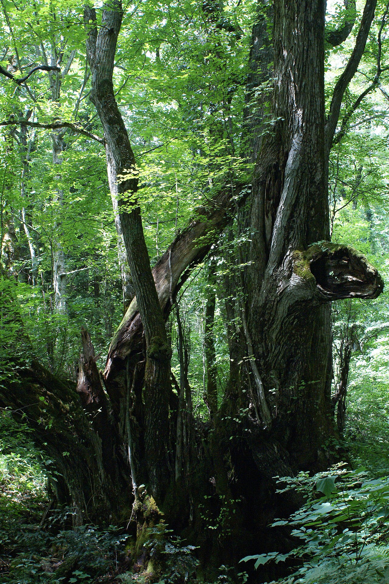 Katsura treeKatsura tree · 1.6 mi
 Harper's IslandIslet · 2.0 mi
 Gleeson MemorialMemorial · 2.2 mi
 Old Court (Site of)Castle, unclassified · 2.5 mi
 Leamlara Castle (in Ruins)Castle, tower house · 3.1 mi
 Lough MahonBay · 4.0 mi
 Glanmire Heritage SocietyMemorial · 4.8 mi
Other information
Photo: Credit not shown in the picture search · Rights wording not checked; contact us if this picture should be removed