What is recorded here
From the National Monuments Service (Archaeological Survey of Ireland) record CO064-086
Places near here
Photo credits
- Maker not stated on source page, www.pinterest.com
- National Inventory of Architectural Heritage
- Maker not stated on source page, www.dreamstime.com
- Maker not stated on source page, www.alamy.com
- Maker not stated on source page, tr.pinterest.com
- Maker not stated on source page, ru.pinterest.com
- Materialscientist, Wikimedia Commons · CC BY-SA 3.0
- 663highland, Wikimedia Commons · CC BY 2.5
- The Echo; individual photographer not named on article, www.echolive.ie
- Robert Ashby, Geograph · CC BY-SA 2.0
 Church (in Ruins)Church · 1493 yd
Explorer Tom Church in Kilcurfin Glebe is covered in ivy like it’s trying to hide its shame. The builder was probably thinking about…
 Garrancloyne HouseHouse · 1.2 mi
Explorer Tom Garrancloyne House is modest but has got a tripartite arrangement of windows that looks like it’s trying to be a bit…
 Windsor CottageHouse · 1.4 mi
Explorer Tom Windsor Cottage in Killahora is likely the dower house for Windsor House, which means it’s been answering 'are you…
 Fairy fort / earthen ringfort in Ballycurreen (barrymore By.)Fairy fort / earthen ringfort · 1.5 mi
Explorer Tom Fairy fort / earthen ringfort in Ballycurreen is run by a dog named O'Connell who has absolutely no idea where the…
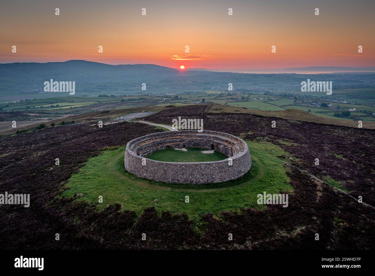 Fairy fort / earthen ringfort in Ballynagaul (barrymore By., Kilquane Par.)Fairy fort / earthen ringfort · 1.8 mi
Explorer Tom Fairy fort / earthen ringfort in Ballynagaul would tell the modern house that replaced it to stop building on the good…
 Castle Lake WalkPark · 1.8 mi
Explorer Tom Castle Lake Walk is named after a castle that was just a very ambitious puddle with delusions of grandeur. The name…
 CastleCastle, unclassified · 1.9 mi
Explorer Tom Castle in Tullagreen is playing hard to get, hiding near Slatty Bridge while pretending it was never there. The Newtons…
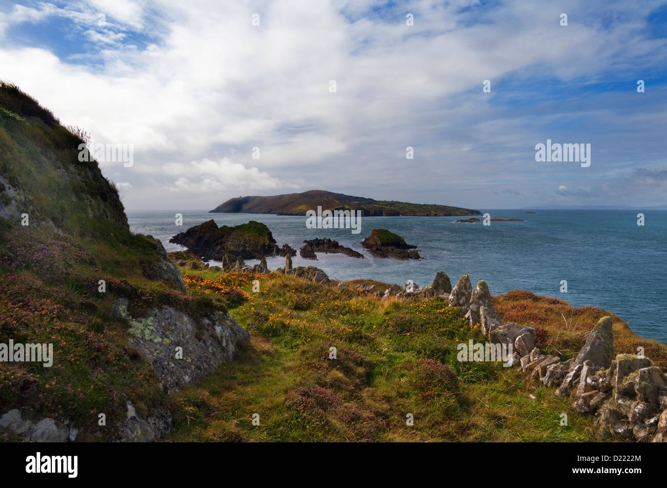 Harper's Island WetlandsPark · 2.0 mi
Explorer Tom Harper's Island Wetlands is stuck in a bitter legal dispute with the fairies over who gets to park their little glass…
 Bhutan Cypress2.0 mi
Explorer Tom Bhutan Cypress is stuck in County Cork, which is like finding a penguin in Texas; it’s out of place but doing its best.…
 Katsura tree2.0 mi
Explorer Tom Katsura tree in County Cork once hosted the most dramatic incident involving a rogue badger and a wedding cake. Nobody…
 Carrigtwohill GAA pitchGAA ground · 2.1 mi
 Harper's IslandIslet · 2.1 mi
Explorer Tom Harper's Island in County Cork smells like old socks and regret, according to my very scientific nose. There’s a nature…
More archaeology and monuments in County Cork · All of County Cork

What do you know about this place?Tap to add a comment or ask a question