
What is recorded here
Situated on level poorly drained ground in forestry. Oval area (dims. 37.6m NW-SE; 34.5m NE-SW) defined by an earthen bank (Wth 2.8-3.5m; int. H 0.5-0.8m) and external fosse (Wth 1.8-2.3m; D 0.8m). There is a gap in the bank (Wth 1.3m) at the NNE but no corresponding causeway. The only features in the slightly domed interior consist of rock outcrops.
The above description is derived from the published 'Archaeological Inventory of County Wicklow' (Dublin: Stationery Office, 1997). In certain instances the entries have been revised and updated in the light of recent research.
Date of upload/revision: 17 December 2008
The monument record does not grant public access. Check the route and ask the landowner before entering private land.
- What survives
- Recorded monument
Places near here
 Enclosure in Kilnamanagh BegEnclosure · 934 yd
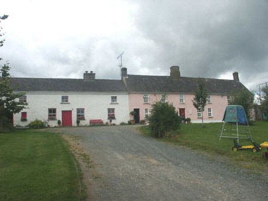 Ballymurrin Househouse · 1269 yd
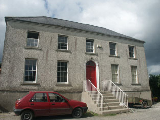 Woodville Househouse · 1300 yd
 Japanese cedarJapanese cedar · 1.2 mi
 Enclosure in CoolbegEnclosure · 1.3 mi
 Lawson's CypressLawson's Cypress · 1.3 mi
 Carrick MountainMountain / peak · 3.6 mi
 BallinastrawMountain / peak · 4.0 mi
 Furzeditch BeachBeach / strand · 4.0 mi
 Castle in ruinsCastle, tower house · 4.2 mi
 Magheramore BeachBeach / strand · 4.2 mi
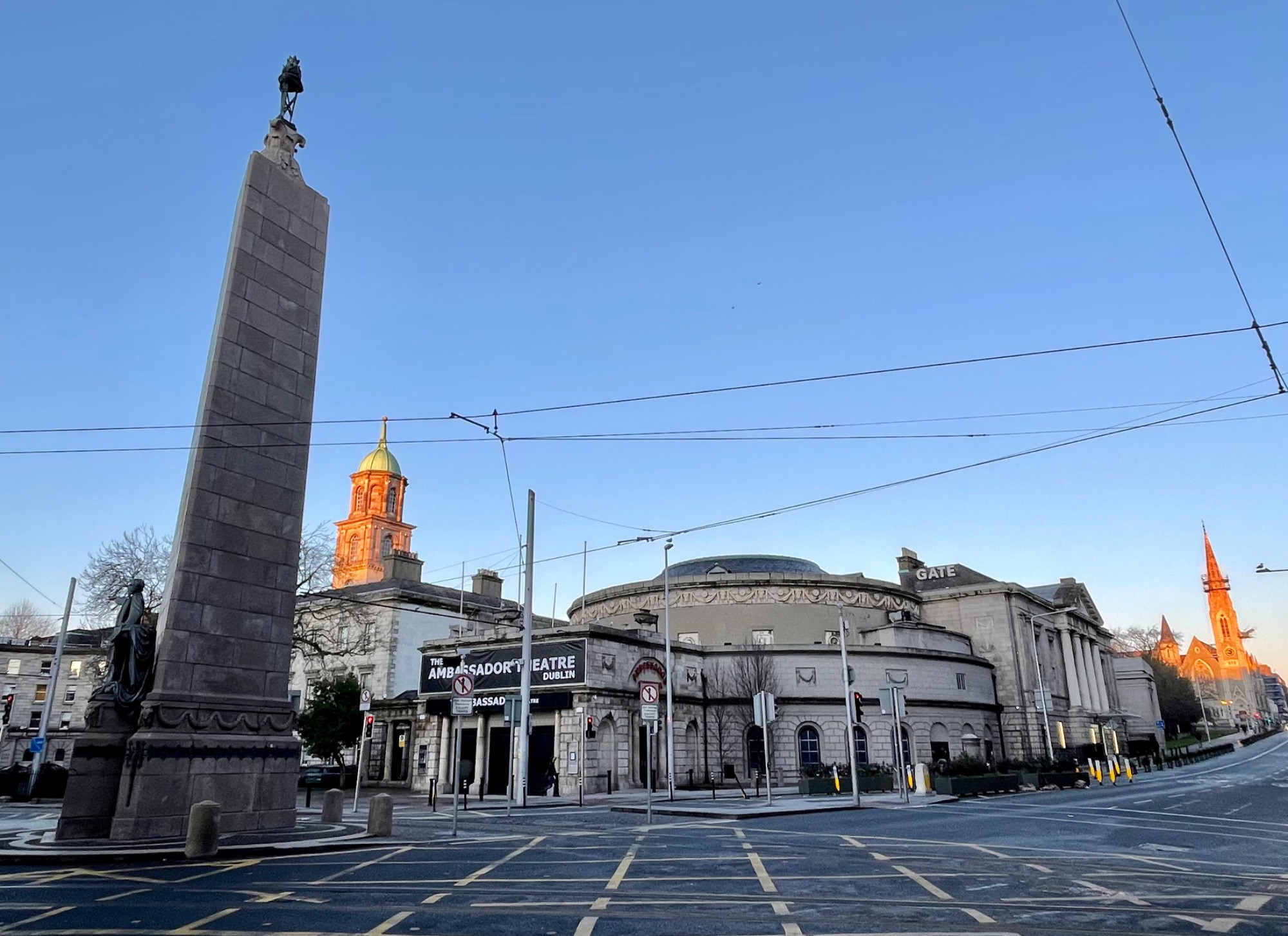 Parnell MonumentMemorial · 4.5 mi
Other information
Photo: Credit not shown in the picture search · Rights wording not checked; contact us if this picture should be removed