
What is recorded here
On a gentle E-facing slope. The ecclesiastical enclosure (RO015-047003-) is bisected by a N-S relict field boundary represented by a grass-covered stone spread (Wth 2.7-3m; H 0.3-0.4m). This is part of a later field system which extends beyond the enclosure but includes two small fields (int. dims 25m x 31m: 15m x 8m) within the enclosure. All features except the enclosure relate to the field system.
Compiled by: Michael Moore
Date of upload: 24 August 2010
The monument record does not grant public access. Check the route and ask the landowner before entering private land.
- What survives
- Recorded monument
Places near here
 Cross in BallaghculliaCross · 55 yd
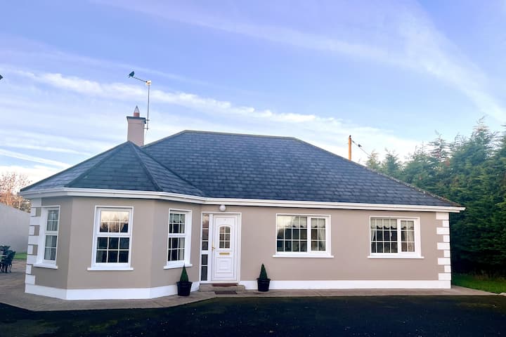 Enclosure in BellanagareEnclosure · 630 yd
 Bellanagare BridgeOfficially recorded historic building · 1335 yd
 GortnacushlaunCastle, unclassified · 1454 yd
 water pumpwater pump · 1456 yd
 Frenchpark Ho.Castle, unclassified · 2.6 mi
 Gray's WoodForest · 3.0 mi
 Square WoodForest · 3.1 mi
 Fairymount HillMountain / peak · 4.6 mi
 Bawn IslandIslet · 5.3 mi
 ToberagullaSpring · 6.2 mi
 Rose PointHeadland · 6.7 mi
Other information
Photo: Credit not shown in the picture search · Rights wording not checked; contact us if this picture should be removed