
What is recorded here
In pasture, on S-facing foothills of ridge (long-axis c. E-W). Excellent views E-S-NW, particularly of Galtee Mountains to S. No visible surface trace. Monument depicted on current OS 6-inch map as semi-circular area (c. diam. 20m NE-SW) defined by enclosing element depicted by hachures and truncated by field boundary (long-axis NE-SW) to SE half. Latter field boundary removed and replaced by wire field fence.
Compiled by: Jean Farrelly
Date of upload: 26 August 2011
A local fairy fort (ringfort/rath); wider significance not recorded.
The monument record does not grant public access. Check the route and ask the landowner before entering private land.
- What survives
- Recorded monument
Places near here
 Bansha ForestForest · 1063 yd
 Ballagh FortEnclosure · 1149 yd
 College Bridgebridge · 1337 yd
 Enclosure in Pollagh (templeneiry Par.)Enclosure · 1395 yd
 Dromomarka Bridgebridge · 1.3 mi
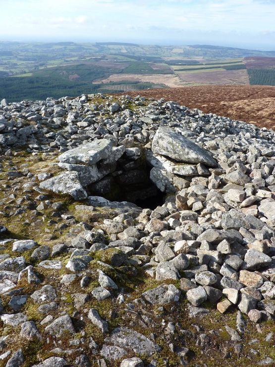 Site of Seefin CastleCastle, unclassified · 1.5 mi
 Cordangan Castle ruinsCastle · 1.5 mi
 The RockViewpoint · 1.9 mi
 Christ the KingViewpoint · 2.3 mi
 Glen of AherlowViewpoint · 2.4 mi
 Glengarra WoodWood · 3.0 mi
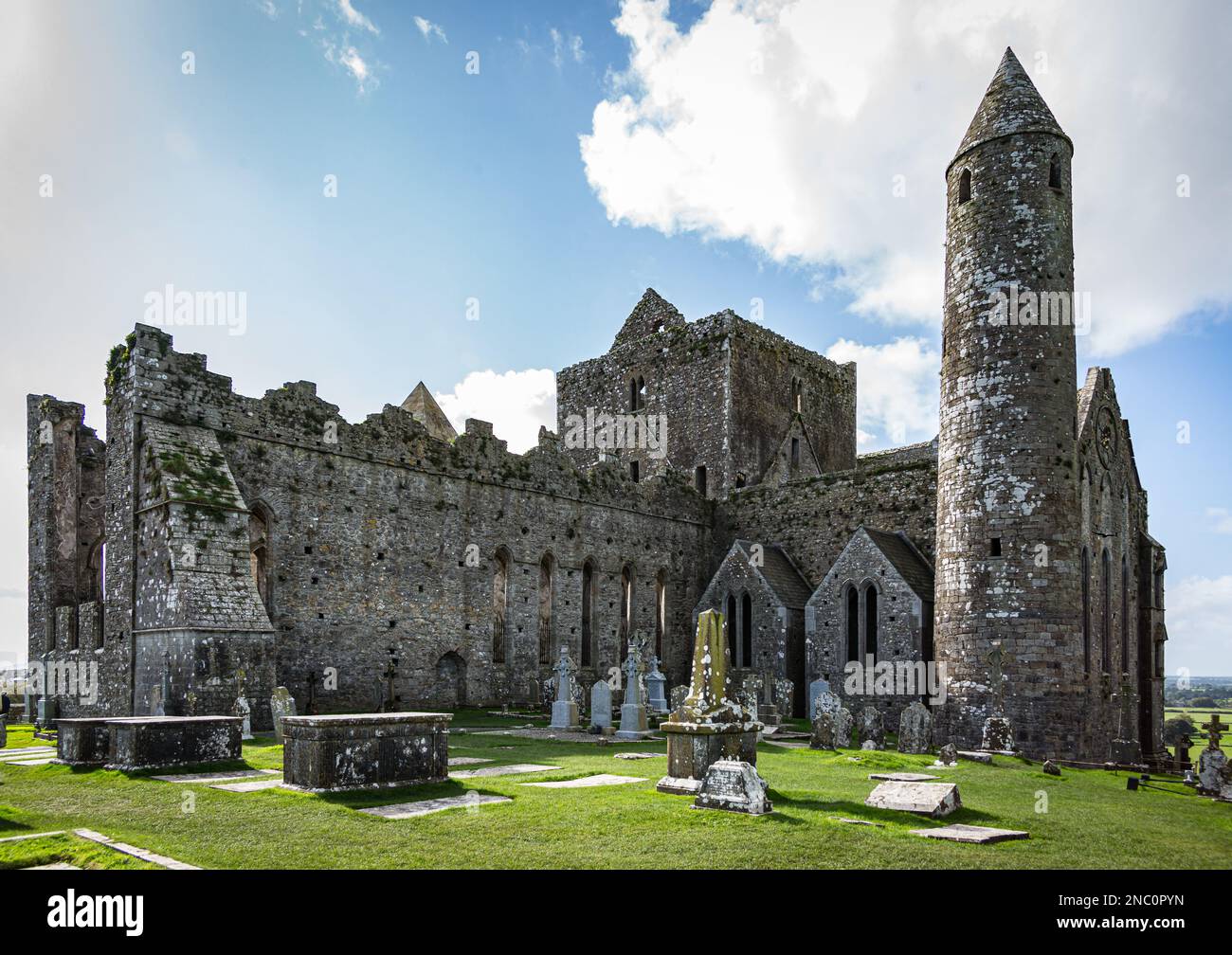 KnockastakeenMountain / peak · 3.1 mi
Other information
Photo: Credit not shown in the picture search · Rights wording not checked; contact us if this picture should be removed