
What is recorded here
Located on high ground above a NW-SE valley with the stream c. 180m to the SW. Circular grass-covered area (diam. 30m E-W; 28m N-S) defined by an eroded earth and stone bank (Wth 4m; int. H 0.4m; ext. H 0.8-1.2m) which is reduced to a scarp almost everywhere and is truncated by a NW-SE field wall at N. The entrance (Wth 3m) at NW is probably modern, and there is no visible fosse. The foundations of a rectangular house (WA039-026002-) (ext. dims. 14.5m N-S; 5m E-W), which is divided into three small compartments, is built of the foundations of stone walls (Wth 1.1-1.3m; max. H 0.3m) on the perimeter of the rath at E. The central compartment has a doorway (Wth 0.9m) on the W side.
The above description is derived from the published 'Archaeological Inventory of County Waterford' (Dublin: Stationery Office, 1999). In certain instances the entries have been revised and updated in the light of recent research.
Compiled by: Michael Moore
Date of upload/revision: 17 October 2011
The monument record does not grant public access. Check the route and ask the landowner before entering private land.
- What survives
- Recorded monument
Places near here
 Church in LoiscreánChurch · 542 yd
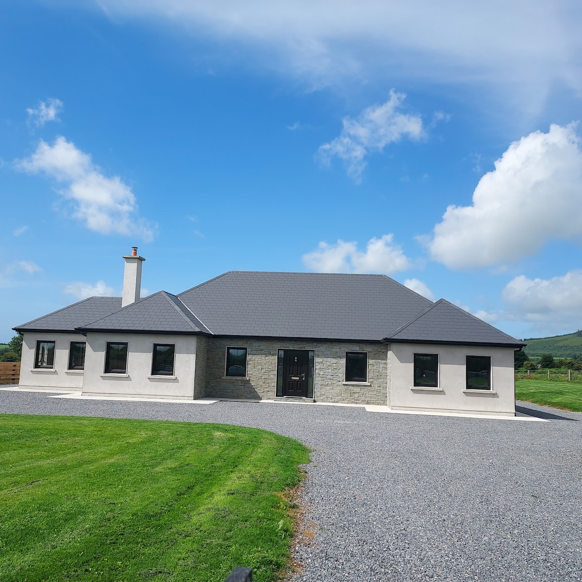 Embanked enclosureFairy fort / earthen ringfort · 1226 yd
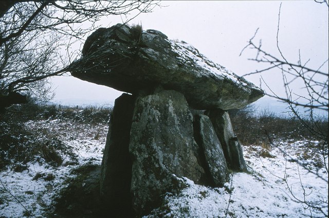 DolmenCourt tomb · 1756 yd
 Site of CastleCastle, unclassified · 1.3 mi
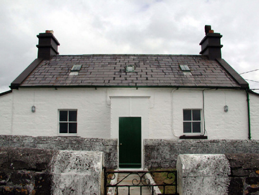 Mine Head Lighthouselighthouse keeper's house · 1.5 mi
 Erin's Hope 1867Memorial · 3.6 mi
 Tobar Uí GríobtháinSpring · 3.7 mi
 Ceann HeilbhicHeadland · 3.8 mi
 Castle (in ruins)Castle, unclassified · 4.8 mi
 Cunnigar PointHeadland · 5.0 mi
 Ballyquinn BeachBeach / strand · 5.0 mi
 Waterford County MuseumMuseum · 5.3 mi
Other information
Photo: Credit not shown in the picture search · Rights wording not checked; contact us if this picture should be removed