What is recorded here
Situated on an E-facing slope beside the Glencree River. A system of small fields and enclosures covering an area of c. 150m x 150m, visible on aerial photographs (GSIAP 1973, O 170-71 O 94/95). There are three oval or subrectangular enclosures (dims. c. 20m x 15m; 30m x 25m; 55m x 30m), and these are linked by faint traces of field boundaries.
See attached Google Earth aerial image taken 30/05/2009 showing extent of field system and enclosures
The above description is derived from the published 'Archaeological Inventory of County Wicklow' (Dublin: Stationery Office, 1997). In certain instances the entries have been revised and updated in the light of recent research.
Date of upload/revision: 17 December 2008
The monument record does not grant public access. Check the route and ask the landowner before entering private land.
- What survives
- Recorded monument
Places near here
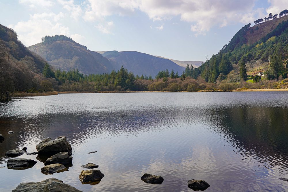 OutlinedEnclosure · 364 yd
 Glencree Centre for Peace and ReconciliationHeritage attraction · 1130 yd
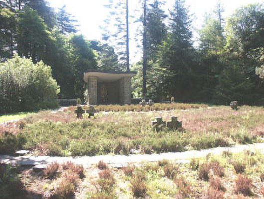 Deutscher Kriegs Friedhofgraveyard/cemetery · 1138 yd
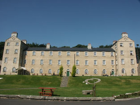 Glencree Barrackbarracks · 1152 yd
 Glencree German War CemeteryHeritage attraction · 1340 yd
 IndicatedEcclesiastical enclosure · 1577 yd
 Ballyross WoodWood · 1.4 mi
 KnocknagunMountain / peak · 1.4 mi
 Millennium WoodWood · 1.6 mi
 Prince William's SeatMountain / peak · 2.0 mi
 Noel Lemass MemorialMemorial · 2.2 mi
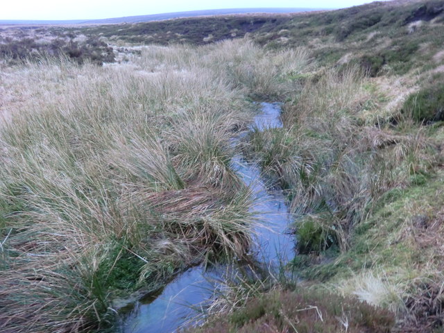 Source of River LiffeySpring · 2.3 mi