What is recorded here
Indicated is a circular stone ringfort in County Cork, Ireland, where a metre-high scarp and wall enclose coniferous trees. The NE quadrant may hide a man-made underground passage, suggesting the fort was more than a boundary marker. People may have lived, hidden or worshipped inside that green circle before the land became rough grazing.
In rough grazing land. Circular area (diam. 44m) defined by scarp (H 1m), topped by stone wall. Interior planted with coniferous trees; possible Man-made underground passage (CO060-123002-) in NE quadrant.
The above description is derived from the published 'Archaeological Inventory of County Cork. Volume 3: Mid Cork' (Dublin: Stationery Office, 1997). In certain instances the entries have been revised and updated in the light of recent research.
Date of upload/revision: 14 January 2009
The monument record does not grant public access. Check the route and ask the landowner before entering private land.
- What survives
- Recorded monument
Places near here
 Historic buildingOfficially recorded historic building · 163 yd
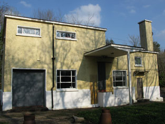 Rusheen Creamerycreamery · 179 yd
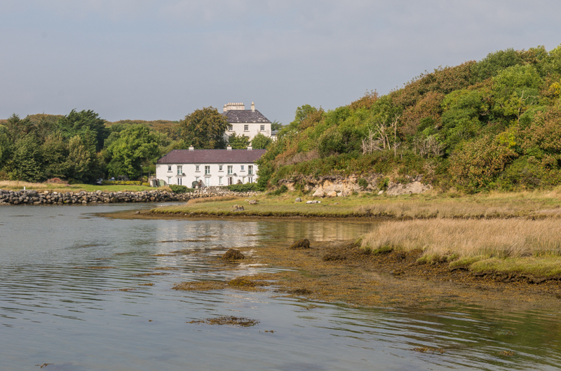 Enclosure in Rusheen (muskerry East By.)Enclosure · 826 yd
 Kilberrihert Burial Gd(Disused)Burial ground · 826 yd
 Black WoodWood · 1064 yd
 BurrenMountain / peak · 1.9 mi
 Ummera WoodWood · 1.9 mi
 Clonavrick CliffCliff · 2.2 mi
 Battle of Macroombattle · 2.9 mi
 Mullinhassig WaterfallWaterfall · 3.0 mi
 Macroom Castle (in Ruins)Castle, tower house · 3.0 mi
 Macroom WalksVisitor information · 3.0 mi