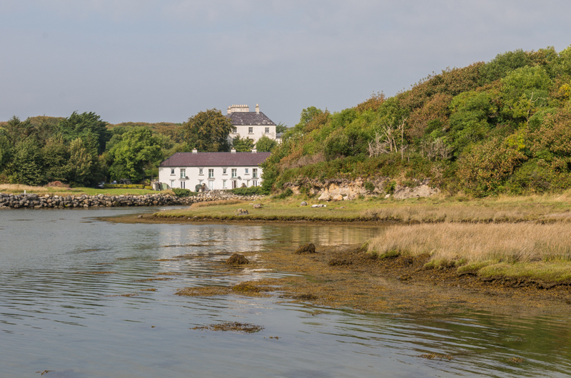
What is recorded here
In low-angled sunlight, the outline of a large circular enclosure (diam. c. 60m) is visible in an aerial photograph (CASAP) taken in 1985. This enclosure was not visible at ground level.
The above description is derived from 'The Archaeological Inventory of County Cork. Volume 5' (Dublin: Stationery Office, 2009).
Date of upload: 22 December 2009
The monument record does not grant public access. Check the route and ask the landowner before entering private land.
- What survives
- Recorded monument
Places near here
 Black WoodWood · 453 yd
 IndicatedChurch · 454 yd
 CairnCairn, radial-stone cairn · 470 yd
 KilnKiln, lime · 514 yd
 Man-made underground passageMan-made underground passage · 535 yd
 BurrenMountain / peak · 1.8 mi
 Ummera WoodWood · 2.3 mi
 Clonavrick CliffCliff · 2.5 mi
 Mullinhassig WaterfallWaterfall · 2.6 mi
 Carrigadrohid Castle InfoVisitor information · 2.9 mi
 Carrigadrohid CastleHeritage attraction · 2.9 mi
 Carrigadrohid Castle (in Ruins)Castle, tower house · 2.9 mi
Other information
Photo: Credit not shown in the picture search · Rights wording not checked; contact us if this picture should be removed