
What is recorded here
Cairn and its linked companion form a pair of spectacles on a quiet Cork slope, their narrow bridge still visible beneath the soil. Nine radial stones rise from the first ring like the ribs of a forgotten chamber, while the second waits across the bridge. The shape suggests two rooms, a passage and a place where people stood facing south.
In a woodland copse, on a flat terrace of a gentle S-facing slope. The N of two linked cairns consists of a ring of nine radially-set stones (diam. 6m) protruding from the remains of a disturbed cairn (max. H 0.5m). Stones vary in height from 0.2m to 0.57m above the cairn surface. The cairn extends to SW as a narrow (Wth 0.5m) causeway-like feature (L 3m) where it joins with its counterpart (CO060-202002-). Two uprights (max. H 0.57m) protrude from the NW edge of this causeway. The ground plan of both monuments resembles a pair of spectacles.
The above description is derived from 'The Archaeological Inventory of County Cork. Volume 5' (Dublin: Stationery Office, 2009).
Date of upload: 22 December 2009
Radial-stone cairn, likely Bronze Age. Its radial stone arrangement suggests ritual or ceremonial significance, common in early funerary or ritual monuments of the period.
The monument record does not grant public access. Check the route and ask the landowner before entering private land.
- What survives
- Recorded monument
Places near here
 Black WoodWood · 49 yd
 KilnKiln, lime · 318 yd
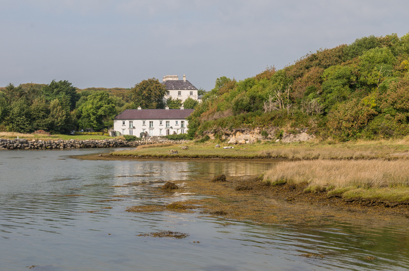 Enclosure in Rusheen (muskerry East By.)Enclosure · 470 yd
 Leades Housecountry house · 601 yd
 Man-made underground passageMan-made underground passage · 747 yd
 BurrenMountain / peak · 2.1 mi
 Ummera WoodWood · 2.2 mi
 Mullinhassig WaterfallWaterfall · 2.4 mi
 Carrigadrohid Castle InfoVisitor information · 2.6 mi
 Carrigadrohid CastleHeritage attraction · 2.7 mi
 Carrigadrohid Castle (in Ruins)Castle, tower house · 2.7 mi
 Clonavrick CliffCliff · 2.8 mi
Other information
Photo: Credit not shown in the picture search · Rights wording not checked; contact us if this picture should be removed