
What is recorded here
Situated on the floodplain of Ballydonnel Brook. Semicircular area (50m N-S; 85m E-W) defined by a stony bank (Wth 1m; H 0.5m) and an external fosse (Wth 2m; D 1m) which is possibly a field drain.
Compiled by: Matt Kelleher
Date of upload: 11 December 2012
A local fairy fort (ringfort/rath); wider significance not recorded.
- Townland
- Athdown
- Official type
- Ecclesiastical enclosure
- Official record
- WI006-012001-
- What survives
- Recorded monument
- Location
- Official recorded centre point
Other information
Photo: Credit not shown in the picture search · Rights wording not checked; contact us if this picture should be removed
The monument record does not grant public access. Check the route and ask the landowner before entering private land.
Places near here
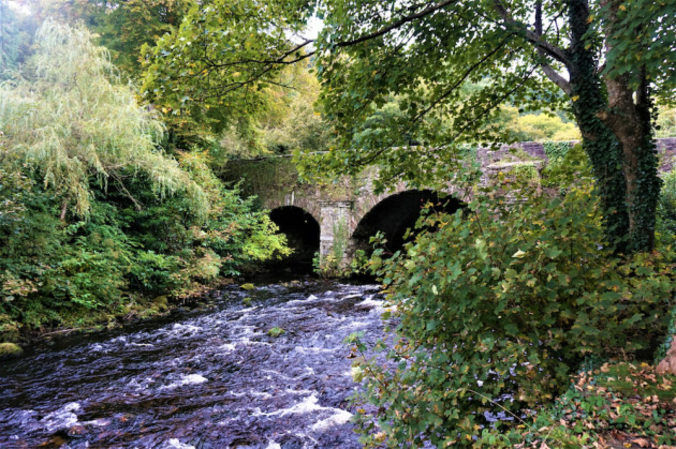 Athdown Moat — AthdownCastle — motte · 581 yd
 Enclosure in AthdownEnclosure · 844 yd
 Indicated — Ballynasculloge LowerEnclosure · 1.1 mi
 Scots Pine — Manor Kilbride, Co. WicklowScots Pine · 1.5 mi
 SeefinMountain / peak · 1.5 mi
 Saint John's Church (Kilbride) — CLOGHLEAGHchurch/chapel · 1.7 mi
 Cloghleagh Bridge — CLOGHLEAGH, KNOCKATILLANEbridge · 1.7 mi
 Sorrel HillMountain / peak · 1.8 mi
 Coronation PlantationWood · 2.3 mi
 OldcourtMemorial · 2.4 mi
 Site of Castle — Oldcourt (talbotstown Lower By.)Castle — unclassified · 2.6 mi
 Lacken – Mass Path LoopWalking route · 3.3 mi