What is recorded here
Situated on the crest of a N and E-facing slope, with a W-E section of the River Boyne c. 100m to the N and a small S-N section of an E-W stream in a fold c. 50m to the E. The parish church of Assey (ME031-011----) is within a neglected subrectangular or D-shaped graveyard (dims c. 50m NW-SE; c. 35m NE-SW) defined by masonry walls. The graveyard has a few headstones dating c. 1744-1820. Archaeological testing (10E0219) by P.D. Sweetman c. 100m to the SE produced no related material (excavations.ie 2010:510).
Compiled by: Michael Moore
Date of upload: 9 January, 2015
Amended: 16 March 2021
A local ancient tomb; wider significance not recorded.
The monument record does not grant public access. Check the route and ask the landowner before entering private land.
- What survives
- Recorded monument
Places near here
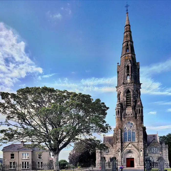 Church (in Ruins)Church · 9 yd
 Assey CastleCastle, tower house · 62 yd
 Clady ChurchChurch · 1230 yd
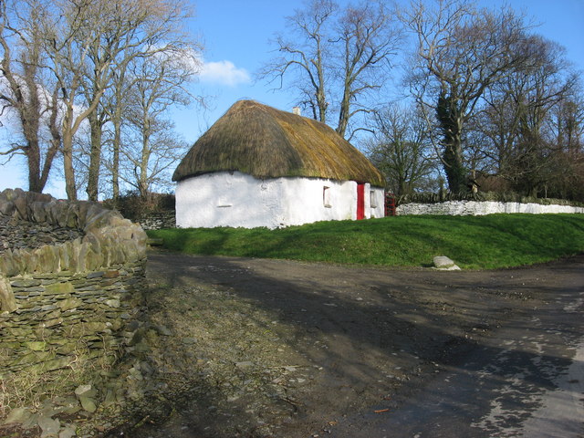 Enclosure in Balgeeth (deece Lower By.)Enclosure · 1525 yd
 European BeechEuropean Beech · 1717 yd
 Enclosure in Grange (navan Upper By.)Enclosure · 1718 yd
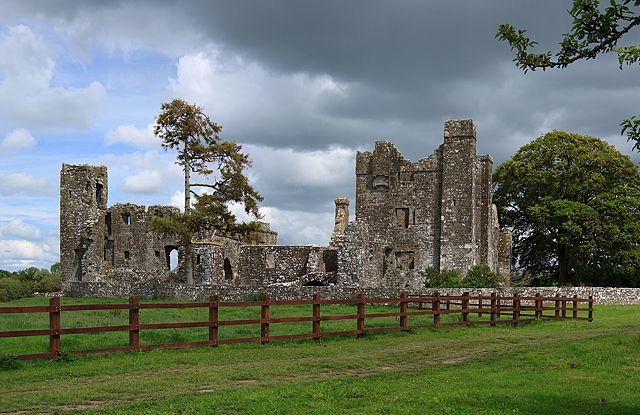 IndicatedCastle, tower house · 1.1 mi
 Small-leaved ElmSmall-leaved Elm · 1.3 mi
 Saint Patrick'sMemorial · 3.2 mi
 Hill of TaraVisitor information · 3.2 mi
 Battle of Tara (Ireland)Major battlefield · 3.2 mi
 Battle of Tara Hillbattle · 3.2 mi