What is recorded here
On a gentle SW-facing tillage slope. Shown on the 1st ed. (1839) of the OS 6-inch map as a substantial rectangular enclosure (est. c. 55m N-S; c. 45m E-W) defined by a bank with an external fosse. According to Omurethi (1896, 193-4), it was levelled for top-dressing a holding c. 1890 during which, '… in the north-eastern corner of the rampart [the leveller] came across an unflagged chamber, full of black barley and ashes, of which he drew away twenty-seven cartloads, and used it as manure. To the astonishment of his neighbours no ill effects to him or his have resulted’. Visible on aerial photographs (CUCAP ASU 83 (1967) and BOC 60 (1973)) as the cropmark of a broad fosse enclosing a rectangular area. No visible surface trace survives.
Compiled by: Gearóid Conroy
Date of upload: 27 November 2013
The monument record does not grant public access. Check the route and ask the landowner before entering private land.
- What survives
- Recorded monument
Places near here
 IndicatedEnclosure · 365 yd
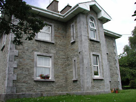 The GroveRIC barracks · 449 yd
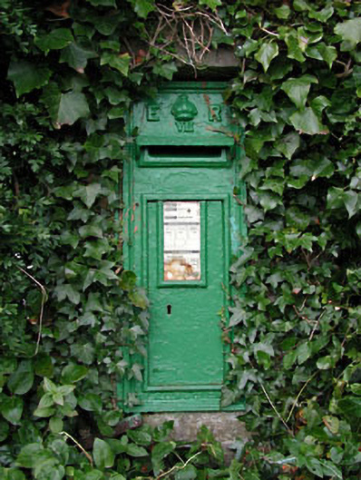 post boxpost box · 459 yd
 European BeechEuropean Beech · 809 yd
 History of Moat of ArdscullVisitor information · 819 yd
 Gorden Bennet Race memorialMemorial · 835 yd
 Ardscull MoatCastle, motte · 880 yd
 Enclosure in AghanureEnclosure · 1006 yd
 Scots PineScots Pine · 1.2 mi
 Inch CastleCastle, tower house · 1.8 mi
 1798 memorialMemorial · 3.2 mi
 Town HallMuseum · 3.2 mi