What is recorded here
On a slight E-facing slope in a low-lying landscape. Circular overgrown area with mature trees on the perimeter (diam. 20.5m E-W) defined by an earth and stone bank (Wth 2.8-3.9m; int. H 0.25-0.75m; ext. H 0.15-0.75m). There is no visible fosse, but there is an entrance (Wth 1.2m) at WSW. Extensive testing (04E1244) in the field to the SE in 2004 failed to produce any related archaeological material (Morahan 2007c)
Compiled by: Michael Moore
Date of upload: 24 August 2010
The monument record does not grant public access. Check the route and ask the landowner before entering private land.
- What survives
- Recorded monument
Places near here
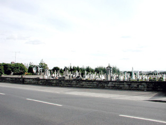 Saint Coman's Cemeterygraveyard/cemetery · 277 yd
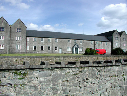 Sacred Heart Hospitalworkhouse · 532 yd
 Gatehouse in Ardnanagh,ballypheasanGatehouse · 1182 yd
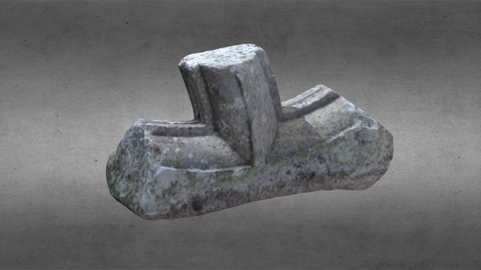 St. Comans VatHoly well · 1222 yd
 Roscommon CastleCastle · 1.1 mi
 Little IslandForest · 1.1 mi
 IndicatedHouse, fortified house · 1.1 mi
 Big IslandForest · 1.1 mi
 Hangman's HillMountain / peak · 4.6 mi
 CastleCastle, unclassified · 5.0 mi
 Cruit BayBay · 5.4 mi
 Galey BayBay · 5.7 mi