What is recorded here
Marked as a subreatangular feature (dims. c. 10m x c. 10m) on the 1837 ed. of the OS 6-inch map and as a small mound (diam. c. 10m) on the 1915 ed. Situated in a low-lying landscape. Described as a subrectangular or D-shaped mound (dims of top c. 15m N-S; c. 10m E-W) containing stone, and the edges of the mound may have been truncated at NW and S (Gannon 1972). It is not visible at ground level in reclaimed pasture.
Compiled by: Michael Moore
Date of upload: 24 August 2010
The monument record does not grant public access. Check the route and ask the landowner before entering private land.
- What survives
- Recorded monument
Places near here
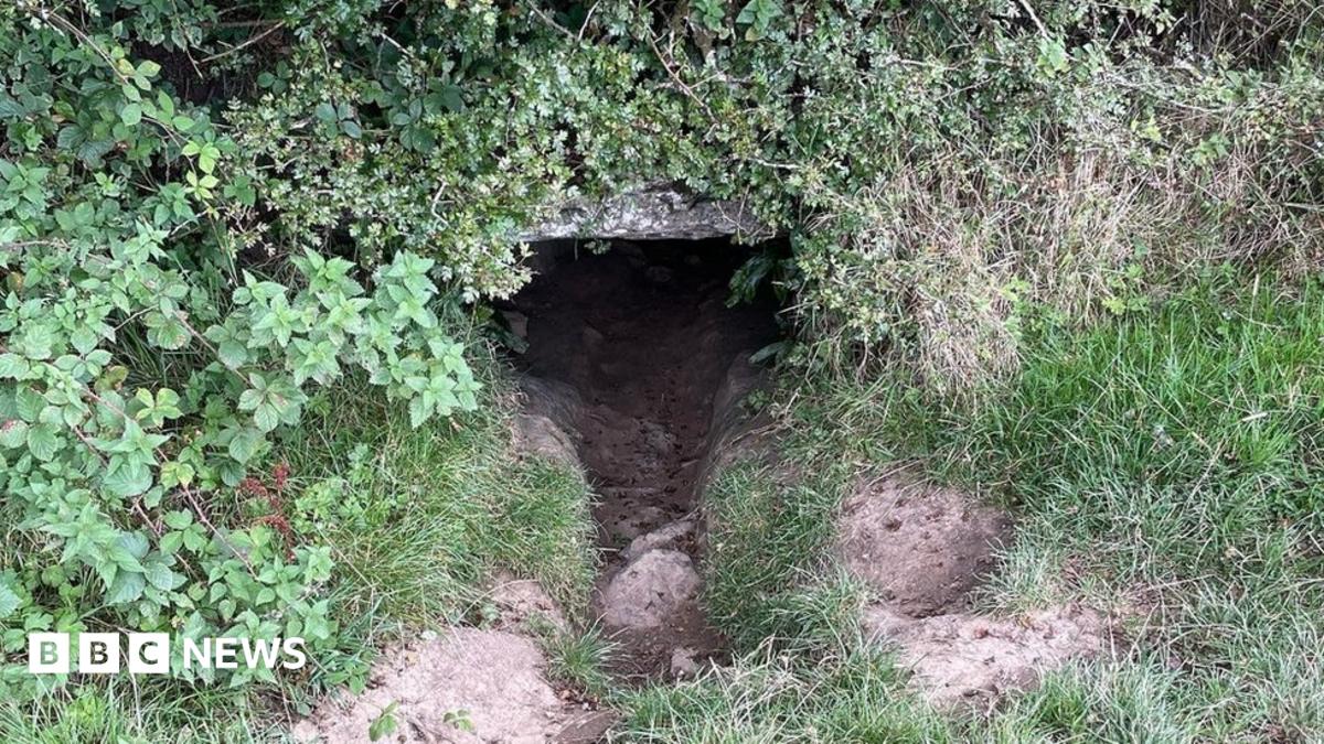 CaveMan-made underground passage · 792 yd
 Enclosure in KnockEnclosure · 822 yd
 Newcomen CastleCastle, unclassified · 1709 yd
 Cloonbigny CastleCastle, tower house · 1.5 mi
 Religious houseReligious house, Augustinian, of Arrouaise nuns · 1.9 mi
 Corn MillMill, unclassified · 1.9 mi
 Sheep HillMountain / peak · 2.8 mi
 Clooncoran IslandIsland · 2.8 mi
 LismoneyForest · 5.2 mi
 West WoodWood · 5.5 mi
 Inch IslandIsland · 6.8 mi
 Urraghry HillMountain / peak · 6.9 mi