What is recorded here
Situated on a low rise in pasture. Depicted as a circular, tree-grown enclosure (diam. c. 25-30m) on the 1837 edition of the OS 6-inch map. This enclosure has been levelled but remains visible as a slightly raised circular area (diam. c. 15m). This probably represents the remains of a tree-ring rather than a genuine antiquity.
Compiled by: Patrick F. O'Donovan
Date of upload: 19 January 2011
The monument record does not grant public access. Check the route and ask the landowner before entering private land.
- What survives
- Recorded monument
Places near here
 R. C. ChapelChurch · 658 yd
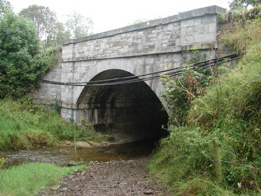 bridgebridge · 662 yd
 IndicatedFairy fort / earthen ringfort · 784 yd
 CastleCastle, tower house · 1338 yd
 Fulacht fia in BallyeeskeenFulacht fia · 1411 yd
 DonaghHeadland · 2.0 mi
 Site of Dunneill CastleCastle, unclassified · 2.3 mi
 Aughris HeadHeadland · 2.7 mi
 Aughris BeachBeach / strand · 2.9 mi
 Dunmoran StrandBeach / strand · 3.6 mi
 Knockalongy North-East TopMountain / peak · 4.3 mi
 KnockalongyMountain / peak · 4.3 mi