
What is recorded here
M. Moore aerial Photographs (ASIAP (45) 37 ) taken in 1976 identified possible pond, no evidence of any pond or archaeological feature in area marked on OS 6-inch map. Could be a cropmark opf a levelled enclosure. Situated on flat reclaimed grassland in upland area with good views in all directions.
The above description is derived from 'The Archaeological Inventory of County Tipperary. Vol. 1 - North Tipperary' compiled by Jean Farrelly and Caimin O'Brien (Dublin: Stationery Office, 2002). In certain instances the entries have been revised and updated in the light of recent research.
Date of upload/revision: 22 September 2008
The monument record does not grant public access. Check the route and ask the landowner before entering private land.
- What survives
- Recorded monument
Places near here
 Brookley Househouse · 1150 yd
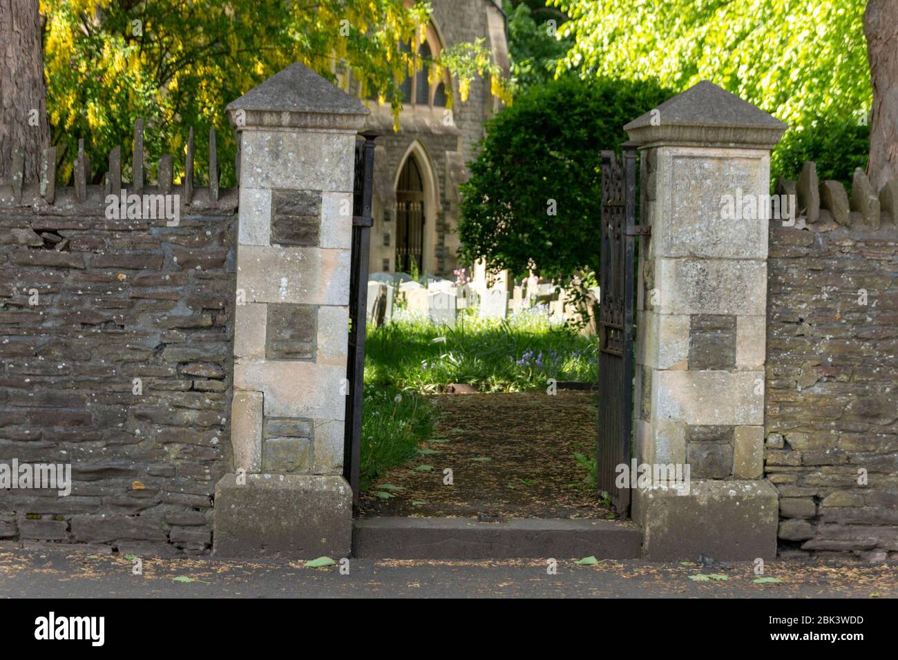 Church (in Ruins) Grave YardChurch · 1163 yd
 ToberlahanHoly well · 1313 yd
 Cloghaneena Castle (in ruins)Castle, tower house · 1.0 mi
 Kilvilcorris BogForest · 1.2 mi
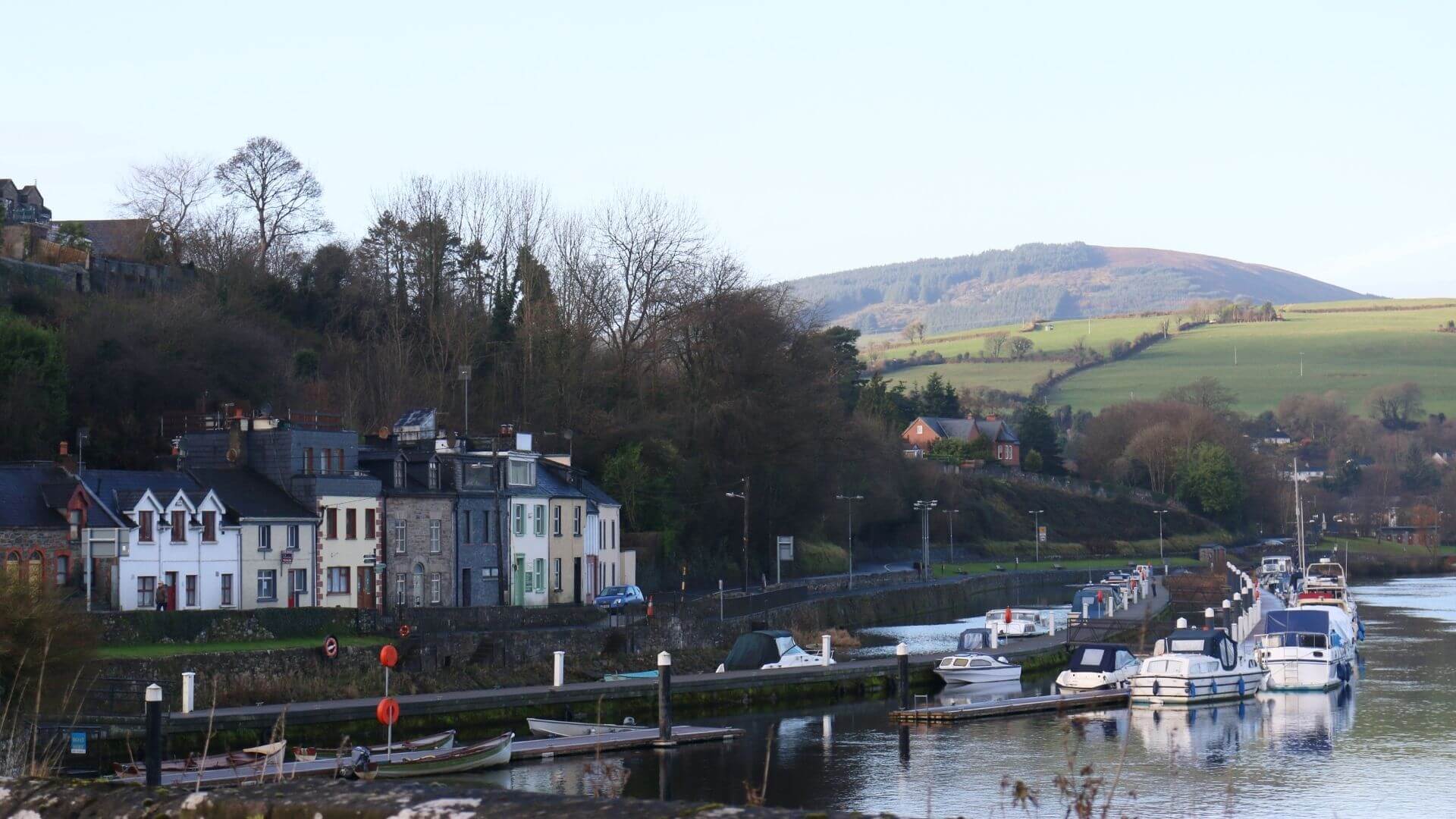 Fishmoyne Ho.Castle, unclassified · 1.3 mi
 Boney HillArchaeological place · 1.5 mi
 Morris's GroveForest · 2.6 mi
 GortagarryMountain / peak · 3.0 mi
 Devil's Bit MountainMountain / peak · 3.3 mi
 Killoskehan Castlegate lodge · 1314 yd
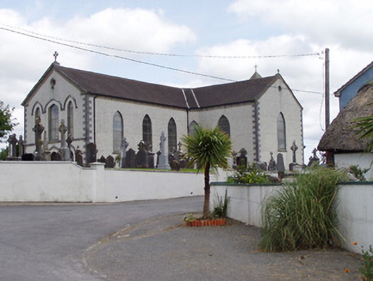 Saint Mary's Catholic Churchchurch/chapel · 1528 yd
Other information
Photo: Credit not shown in the picture search · Rights wording not checked; contact us if this picture should be removed