What is recorded here
Indicated is a fairy fort or earthen ringfort in Ardcree, County Sligo, Ireland. A circular platform 32.5m across and 1.2m high sits on a west-facing pasture slope, its base enclosed by a shallow fosse 3m wide and 0.2m deep. Another rath lies about 50m to the north. O'Rorke suggested a local fort near Ardcree bridge may have been the castle of Rath-Ard-creeve burned by Hugh O'Connor in 1265, though it is not certain which of the three townland forts he meant.
In pasture, on a W-facing slope. A circular platform (diam. 32.5m; H 1.2m) with a gently sloping top. The base of the platform is enclosed by a shallow fosse (Wth 3m; D 0.2m). There is another rath (SL026-088----) c. 50m to the N. O'Rorke ([1889], vol. 2, 66-7) suggests that a fort, known locally as 'Ardcree-fort' and within a thousand yards of Ardcree bridge, was possibly the site of the 'castle of Rath-Ard-creeve' which was burned by Hugh O'Connor in 1265. It is not certain to which of the three forts (SL026-087----; SL026-088----) in the townland O'Rorke was referring.
The above description is derived from the published 'Archaeological Inventory of County Sligo' compiled by Ursula Egan, Elizabeth Byrne, Mary Sleeman with Sheila Ronan and Connie Murphy (Dublin Stationery Office, 2005).
Date of upload: 18 January 2008
The monument record does not grant public access. Check the route and ask the landowner before entering private land.
- What survives
- Recorded monument
Places near here
 IndicatedFairy fort / earthen ringfort · 100 yd
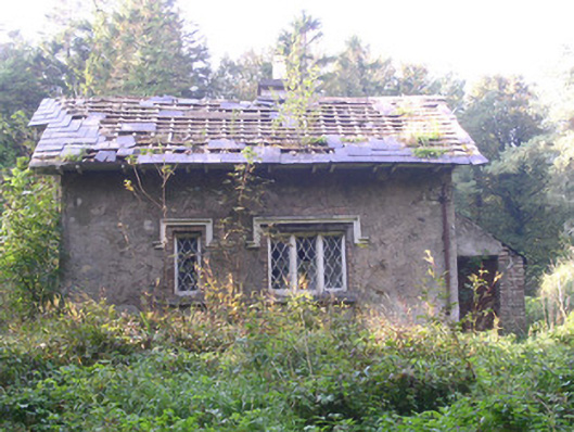 Annaghmore Housegate lodge · 344 yd
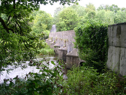 Ardcree Bridgebridge · 418 yd
 Enclosure in Annaghmore (tirerrill By.)Enclosure · 437 yd
 Moymlough Castle (in Ruins)Castle, tower house · 1.4 mi
 Castle (Site of)Castle, unclassified · 2.0 mi
 Tullaghan HillMountain / peak · 2.5 mi
 CroaghaunMountain / peak · 2.9 mi
 European ashEuropean ash · 3.0 mi
 ElderElder · 3.2 mi
 James MorrisonMemorial · 4.3 mi
 RinnatalleenHeadland · 4.5 mi