
What is recorded here
Indicated was a twenty-metre circular ringfort on a low Mayo ridge, visible on maps from 1838 to 1930 before ploughing erased its walls. It stands nowhere now except in a faint ripple of the pasture, a ghost shape under the grass. The land keeps the memory of its boundary even when the stones are gone.
In pasture, located on a low, roughly N–S elevation, with good views. This possible rath is shown on the 1838 and 1930 OS 6-inch maps as a circular ringfort-like enclosure (diam. c. 20m). It has been levelled; a slight undulation in the field surface indicates it location.
Compiled by: Jane O’Shaughnessy
Date of upload: 4 September 2019
The monument record does not grant public access. Check the route and ask the landowner before entering private land.
- What survives
- Recorded monument
Places near here
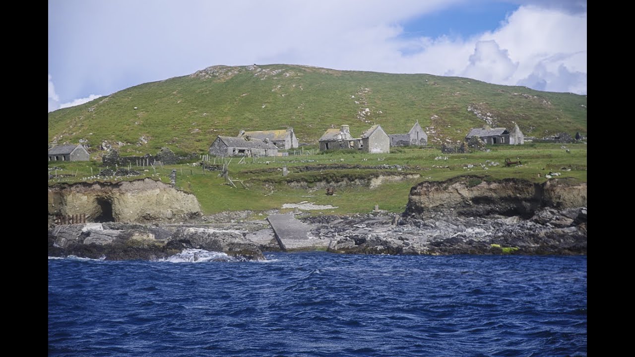 IndicatedFairy fort / earthen ringfort · 319 yd
 Dermot & Graine's BedArchaeological place · 407 yd
 Church (in Ruins)Church · 422 yd
 Church in ruinsChurch · 1465 yd
 Castle Kelly (in Ruins)Castle, motte · 1.1 mi
 CastleCastle, tower house · 1.2 mi
 Battle of Ballinabattle · 2.9 mi
 Roe IslandIslet · 2.9 mi
 Gull IslandIslet · 3.0 miHumbert MonumentMemorial · 3.4 mi
 Belleek WoodsWood · 4.4 mi
 FloretteWreck · 4.6 mi
Other information
Photo: Credit not shown in the picture search · Rights wording not checked; contact us if this picture should be removed