What is recorded here
Indicated is a graveyard holding the probable site of St Finnian's early monastery, where headstones span from 1750 to 2003 while two older markers vanish from memory. The Kilwarden River flows one hundred and seventy metres south, past masonry walls and earthen banks that have guarded the dead since before the eighteenth century. John Hebie and Digby Waddingstone are named in history but absent from the ground, their stones lost to time or theft. The place remembers what it can hold and releases the rest into legend.
Situated on a fairly level landscape with the NW-SE Kilwarden River c. 170m to the S and c. 1.8km W of where the Kilwarden meets a SW-NE section of the River Boyne. The site of St Finnian's parish church and probably of the early monastery of St Finnian (ME047-007----) is within a subrectangular graveyard (max. dims c. 90m NE-SW; c. 38m NW-SE) defined by masonry walls at SW and NW and by earthen banks and trees on the other sides. The medieval font (ME047-007002-) was moved to the Roman Catholic church of St Finnian at Clonard village (ME047-020----), c. 725m to the W, in 1991. There is no evidence of ancient or medieval structures at the graveyard, apart from a face corbel in the tower of the now closed St Finnian's Church of Ireland church that was built in 1808, and a rectangular, flat-bottomed trough (ME047-007003-) of uncertain date and function. The headstones date generally from c. 1750 to c. 2003, but the graveslabs or headstones of John Hebie (1622) and Digby Waddingstone (1692) recorded by FitzGerald (1899) cannot be identified.
Compiled by: Michael Moore
Date of upload: 15 April, 2015
The monument record does not grant public access. Check the route and ask the landowner before entering private land.
- What survives
- Recorded monument
Places near here
 Site of AbbeyChurch · 35 yd
 Saint Finian's Church (Clonard)church/chapel · 36 yd
 Field system in Anneville or Clonard OldField system · 112 yd
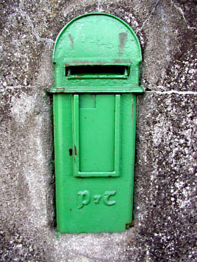 post boxpost box · 169 yd
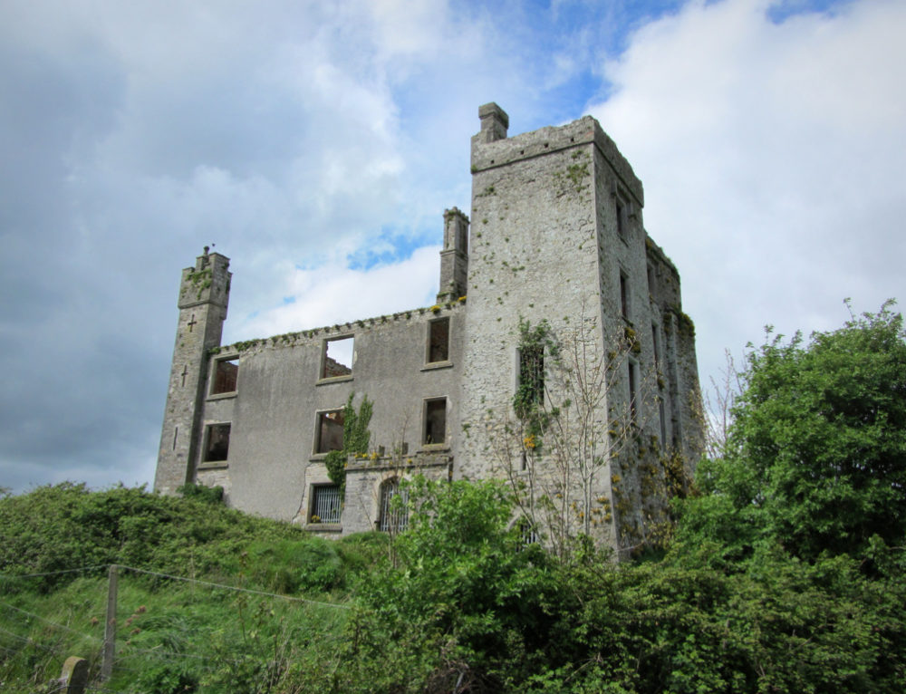 CastleCastle, ringwork · 382 yd
 Croppies' GraveMemorial · 1623 yd
 Abandoned Kinnegad CanalWood · 1.0 mi
 Queen Marys CastleCastle, tower house · 1.9 mi
 Rahin WoodsForest · 3.7 mi
 The Grill ShackHeritage attraction · 11 mi
 Conolly's FollyHeritage attraction · 19 mi
 Ash HillMountain / peak · 20 mi