What is recorded here
In good pastureland, originally part of the estate of Annefield House, which was built in 1795 and is located c. 200m to W.
Not indicated on the 1838 OS 6–inch map; indicated on the 1915 edition as a large oval enclosure (c. 35m E-W; c. 60m N-S), with a wooded interior. At this location is a natural elongated oval hillock. There is now no visible trace of an enclosing element. According to local information, the hillock was once encircled at its base by a field wall and planted with a mix of deciduous and coniferous trees. The trees and the field wall were removed during land reclamation in the 20th-century. This enclosure appears to have been a tree-ring/estate feature in the grounds of Annefield house.
Compiled by: Jane O’ Shaughnessy
Date of upload: 4 October 2017
This remains an important historical record, but the official description says the monument is no longer visible or has been destroyed. The monument record does not grant public access. Check the route and ask the landowner before entering private land.
- What survives
- No visible remains or recorded as destroyed
Places near here
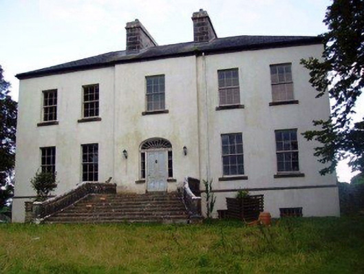 Annefield Housecountry house · 288 yd
 ToberglassanHoly well · 1145 yd
 IndicatedEnclosure · 1189 yd
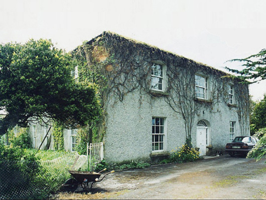 Greaghansfarm house · 1359 yd
 Castle in ruinsCastle, unclassified · 1.1 mi
 Castle (in ruins)Castle, unclassified · 1.9 mi
 European YewEuropean Yew · 3.3 mi
 SycamoreSycamore · 4.5 mi
 Mass RockNamed rock · 8.4 mi
 Ross Errilly FriaryHeritage attraction · 10 mi
 School of FalconryHeritage attraction · 11 mi
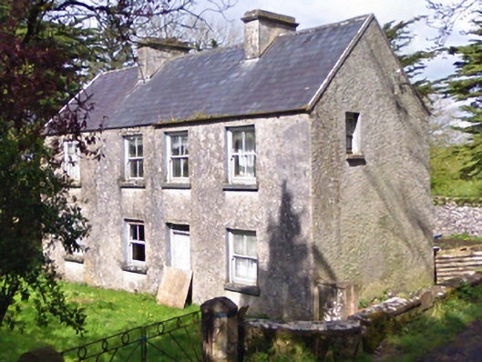 farm housefarm house · 1.0 mi