
Places near here
Photo credits
- National Inventory of Architectural Heritage
- Geograph contributor · CC BY-SA 2.0
- Sitomon, Wikimedia Commons · CC BY-SA 2.0
- Mike Searle, Wikimedia Commons · CC BY-SA 2.0
- Christian Pirkl, Wikimedia Commons · CC BY-SA 3.0 at
- Nigel Thompson, Geograph · Creative Commons Attribution-ShareAlike 2.0
- Andreas F. Borchert, Wikimedia Commons · CC BY-SA 4.0
- The original uploader was Dppowell at English Wikipedia ., Wikimedia Commons · CC BY-SA 2.5
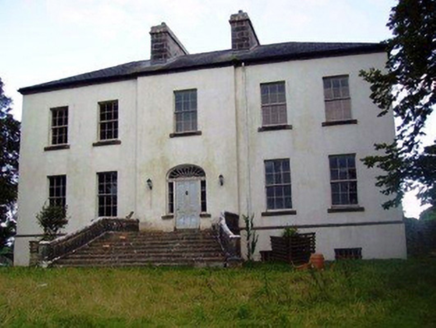 Annefield HouseCountry house · 288 yd
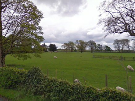
Explorer Tom Annefield House started because two lads bet they could build a grander house than their neighbour. They lost the bet but kept the house anyway, which says something about their confidence levels. Best enjoy the view before the roof decides to give up completely.
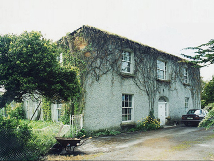 GreaghansFarm house · 1359 yd
Explorer Tom Grealghans farmhouse is currently judging your driving skills based on how close you park to its scenic views. The local sheep have definitely formed a committee about who owns this patch of land. Bring a camera and your most polite smile for the gatekeeper.
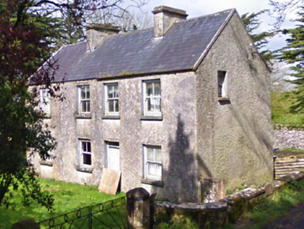 farm house1.0 mi
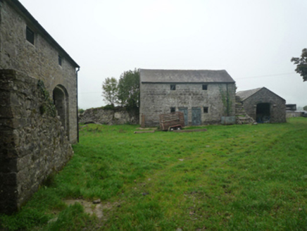 BushfieldFarmyard complex · 1.1 mi
 rectory/glebe/vicarage/curate's house1.7 mi
 Killernan CastleCastle · 3.1 mi
 European Yew3.3 mi
Explorer Tom European Yew remembers the priest who lost a bet there and had to walk the whole way back home barefoot. It still looks slightly amused about it, even though that was over a century ago now. Ideal spot for a dramatic phone call.
 Cloonagashel CastleCastle · 4.5 mi
 Sycamore4.5 mi
Explorer Tom Sycamore’s least favourite visitor is definitely the guy who tries to climb it in his dress shoes and complains about the leaves. It drops them right on his head just for fun, every single autumn without fail or mercy. It's the kind of place that makes a dull Tuesday interesting.
 Grave YardGraveyard · 8.3 mi
Explorer Tom Graveyard in Abbeytown offers a shortcut that definitely isn't a shortcut but feels faster because you’re scared of getting lost. It’s just south of the road and full of secrets it doesn’t want to share with you. Go before the tourists find out.
 Cloigtheach (Round Tower)Round tower · 9.0 mi
Explorer Tom Cloigtheach (Round Tower) in Pollacorragune is standing guard like a very tired bouncer. It's got a high doorway because apparently nobody walks anymore. Ring your granny and tell her where you are before you get lost.
 Ross Errilly FriaryHeritage attraction · 10 mi
More archaeology and monuments in County Mayo · All of County Mayo

What do you know about this place?Tap to add a comment or ask a question