What is recorded here
Situated just W of a local summit with rock outcrop. This was described in 1968 as a circular grass and scrub-covered area (diam. 28.4m E-W; 26.4m N-S) defined by a stony bank (at N: Wth of base 2m; Wth of top 0.5m; int. H 0.85m; ext. H 1.1m). There are gaps at NW and SSE (Wth of base 1.2m), but the latter is probably the original entrance. Adjoining the perimeter at W is a rectangular enclosure (MO015-003002-) (int. dims 5.5m N-S; 7.2m E-W) defined by banks of earth and stone at W and N and the cashel wall at E, but it is open at S. The monument had become completely overgrown with furze by 2000 (OSAP).
The above description is derived from the published 'Archaeological Inventory of County Monaghan' (Dublin: Stationery Office, 1986). In certain instances the entries have been revised and updated in the light of recent research.
Compiled by: Michael Moore
Date of revision: 26 February 2018
The monument record does not grant public access. Check the route and ask the landowner before entering private land.
- What survives
- Recorded monument
Places near here
 Enclosure in AnnagloghEnclosure · 10 yd
 Fairy fort / stone ringfort in AnnagloghFairy fort / stone ringfort · 219 yd
 Church in CroaghanChurch · 1591 yd
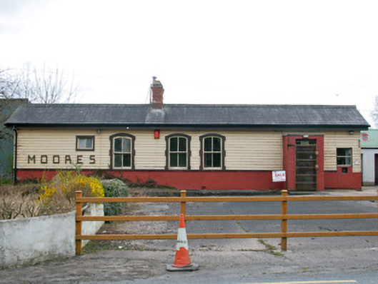 Creaghanroe Railway Stationrailway station · 1.2 mi
 Monaghan WayWalking route · 1.5 mi
 Battle of ClontibretBattlefield · 3.4 mi
 Mullyash MountainMountain / peak · 3.8 mi
 John Francis GreenMemorial · 3.9 mi
 Harper's IslandIslet · 4.4 mi
 The CrescentMemorial · 4.4 mi
 Garmany's IslandIslet · 4.5 mi
 Blaney CastleCastle · 4.6 mi