What is recorded here
Listed in the SMR (1989) and RMP (1995) and classified 'Enclosure'. In a hollow, c. 100m S of the Owenmore River. Indicated on the 1838 edition of the OS 6-inch map as a roughly rectangular area planted with trees and on the 1913 edition as a circular area, also planted with trees. Upstanding remains comprise a subcircular area (int. diam. 27m) enclosed by a low broad earthen bank (Wth 3.5m; int. H 0.5m; ext. H 0.5m). Traces of an external fosse (Wth 4m; D 0.4m) are evident along the SE arc. Mature horse-chestnut trees grow within the interior. This is likely to be post-1700 AD in date.
Compiled by: Archaeological Survey Unit, UCC
Date of upload: 11 January 2012
The monument record does not grant public access. Check the route and ask the landowner before entering private land.
- What survives
- Recorded monument
Places near here
 Enclosure in Annaghmore (tirerrill By.)Enclosure · 679 yd
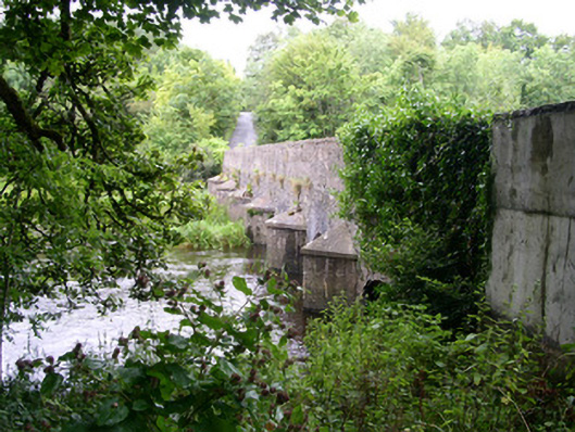 Ardcree Bridgebridge · 893 yd
 Indicated (1838).Fairy fort / earthen ringfort · 893 yd
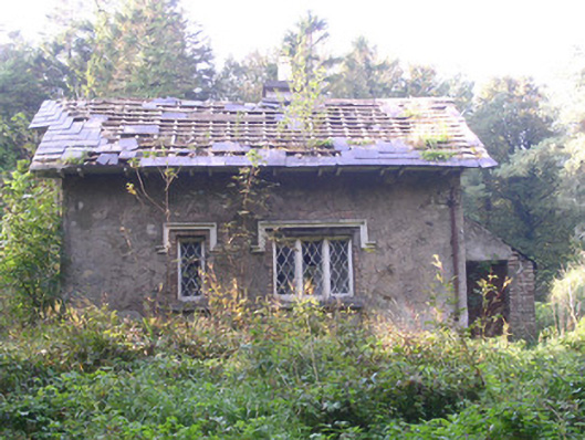 Annaghmore Housegate lodge · 913 yd
 Castle (Site of)Castle, unclassified · 1.4 mi
 Moymlough Castle (in Ruins)Castle, tower house · 1.7 mi
 Tullaghan HillMountain / peak · 2.8 mi
 CroaghaunMountain / peak · 2.9 mi
 European ashEuropean ash · 3.5 mi
 ElderElder · 3.6 mi
 James MorrisonMemorial · 3.8 mi
 RinnatalleenHeadland · 4.6 mi