What is recorded here
Indicated is a crannog in Annaghbeg ((roscommon By.), County Roscommon, Ireland. The 1837 edition of the OS 6-inch map marked it as a small island with a diameter of about 25m at the SE shore of Lough Nablasbarnagh. It is now a small overgrown peninsula measuring about 20m east-west and 15m north-south, with no evidence of artificial construction.
Marked as a small island (diam. c. 25m) on the 1837 ed. of the OS 6-inch map, and situated at the SE shore of Lough Nablasbarnagh (diam. c. 500m). It is now a small overgrown penninsula (dims. c. 20m E-W; c. 15m N-S; H c. 0.2m) with no evidence of artificial construction.
Compiled by: Michael Moore
Date of upload: 24 August 2010
The monument record does not grant public access. Check the route and ask the landowner before entering private land.
- What survives
- Recorded monument
Places near here
 Embanked enclosureFairy fort / earthen ringfort · 640 yd
 EnclosureFairy fort / earthen ringfort · 970 yd
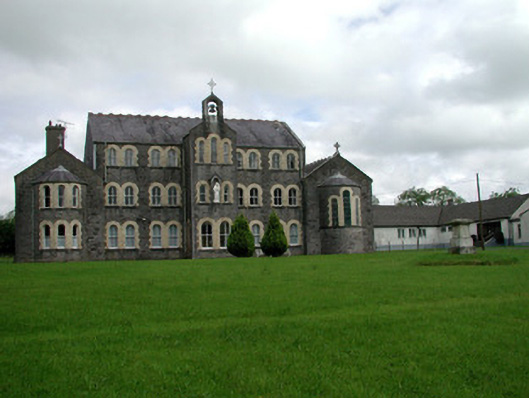 Convent of Mercyconvent/nunnery · 1.6 mi
 Saint John's Church (Bumlin)church/chapel · 1.7 mi
 Sweet ChestnutSweet Chestnut · 2.0 mi
 Pedunculate OakPedunculate Oak · 2.0 mi
 Strokestown House GardensHeritage attraction · 2.2 mi
 Strokestown ParkHeritage attraction · 2.4 mi
 CastleCastle, unclassified · 4.4 mi
 War of Independence Commemorative Military MemorialMemorial · 4.5 mi
 Leitrim CastleCastle, unclassified · 5.0 mi
 Slieve BawnMountain / peak · 5.7 mi