What is recorded here
Marked as a canal on the 1837 ed. of the OS 6-inch map, and situated on the W bank of the NNE-SSW River Shannon. A short stretch of canal (L c. 150m; Wth 8-12m; D 1-1.5m) aligned NNE-SSW cuts off a small wooded bend in the river (max. dims c. 150m NE-SW; c. 35m NW-SE) where there may have been shallows. This is part of the Lough Allen canal which was commenced by Col. Charles Tarrant after 1787 (Delaney 1992, 52). The work ceased shortly afterwards, although this portion was completed.
Compiled by: Michael Moore
Date of revised upload: 27 May 2015
The monument record does not grant public access. Check the route and ask the landowner before entering private land.
- What survives
- Recorded monument
Places near here
 PortCastle, unclassified · 127 yd
 Fairy fort / earthen ringfort in PortFairy fort / earthen ringfort · 528 yd
 Enclosure in CorhawnaghEnclosure · 561 yd
 AbbeyChurch · 1270 yd
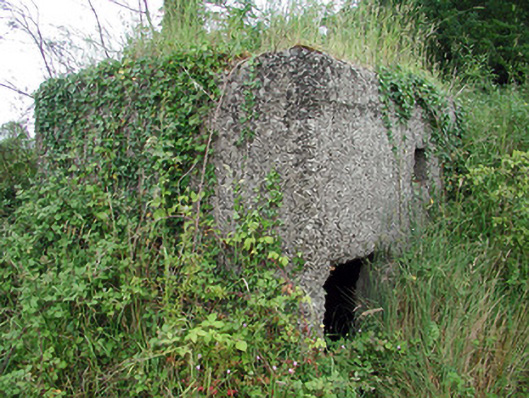 pill boxpill box · 1440 yd
 Sit of Breifny CastleCastle, tower house · 1586 yd
 Shannon-Erne WaterwayVisitor information · 1619 yd
 Battle of Áth an Chipbattle · 1.2 mi
 InishnagonIsland · 2.2 mi
 Leabaidh DermotCave · 2.5 mi
 Moon RiverHeritage attraction · 2.6 mi
 Sheemore Ambush MemorialMonument · 2.9 mi