What is recorded here
Located at the N-facing crest of a small drumlin. This is depicted on the 1835 edition of the OS 6-inch map and on the 1945 revision as a small hachured feature. It is a grass-covered, circular, flat-topped mound (dims of base 15.8m N-S; 14.4m E-W; dims of top 5.7m E-W; 5.5m N-S; H 1.4-1.6m) which has been planted with trees around the base and at the centre.
See the attached view taken from the NE.
The above description is derived from 'The Archaeological Inventory of County Leitrim' compiled by Michael J. Moore (Dublin: Stationery Office, 2003). In certain instances the entries have been revised and updated in the light of recent research.
Compiled by: Michael Moore
Date of upload: 23 September 2008
Amended: 6 December 2019
Neolithic passage tomb, dating to approximately 3000–2500 BCE. Its significance lies in its association with early farming communities and ceremonial practices in the region.
The monument record does not grant public access. Check the route and ask the landowner before entering private land.
- What survives
- Recorded monument
Places near here
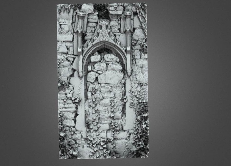 Enclosure in AnnaduffEnclosure · 603 yd
 IndicatedFairy fort / earthen ringfort · 1166 yd
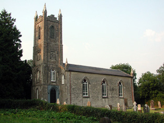 Saint Anne's Church (Annaduff)church/chapel · 1404 yd
 Drumsna National Schoolschool · 1417 yd
 Tom Dunphy MemorialMemorial · 1482 yd
 Declaration of IndependenceMemorial · 1.0 mi
 Wildlife AreaNature reserve · 1.2 mi
 Site of Dangan CastleCastle, unclassified · 3.3 mi
 InishmoylinIslet · 4.3 mi
 Coarse IslandForest · 4.5 mi
 Dockery's IslandIslet · 4.6 mi
 Moon RiverHeritage attraction · 4.6 mi