
What is recorded here
From the National Monuments Service (Archaeological Survey of Ireland) record MA024-024002
Places near here
Photo credits
- National Inventory of Architectural Heritage
- Maker not stated on source page, www.mayo-ireland.ie
- Maker not stated on source page, www.pinterest.com
- Maker not stated on source page, www.dreamstime.com
- Oliver Dixon, Geograph · Creative Commons Attribution-ShareAlike 2.0
- Maker not stated on source page, www.tripadvisor.com
- Maker not stated on source page, www.alamy.com
- Maker not stated on source page, tr.pinterest.com
- Own work, Wikimedia Commons · CC BY-SA 3.0
- ParaDara, Wikimedia Commons · CC BY-SA 4.0
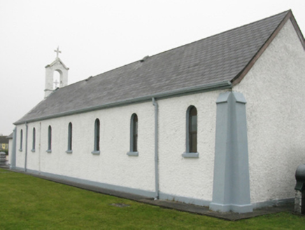 Catholic Church of Our Lady of LourdesChurch/chapel · 1640 yd
Explorer Tom Catholic Church of Our Lady of Lourdes thinks Dublin tourists are all about the photos and none about the prayer, so it…
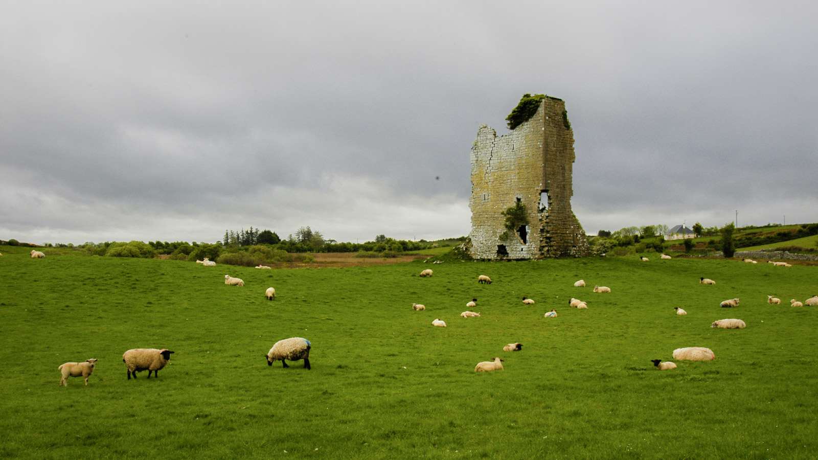 Bingham CastleHouse, 18th/19th century · 1.5 mi
Explorer Tom Bingham Castle in Oiligh has a bird that refuses to leave, even though the house is basically just a fancy ruin now.…
 Castle (Site of)Castle, unclassified · 1.6 mi
Explorer Tom Castle at An Tearmann was built on a bargain where someone traded a cow for the land and lost the argument about the…
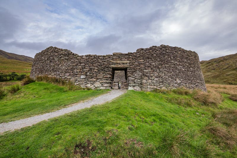 Fairy fort / stone ringfort in An TearmannFairy fort / stone ringfort · 2.0 mi
Explorer Tom Fairy fort / stone ringfort in An Tearmann has a tunnel that allegedly goes straight to the local pub, but nobody dares…
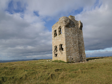 Glash Signal TowerSignal tower · 2.2 mi
Explorer Tom Glash Signal Tower in Nakil Or Surgeview is called Surgeview because the map makers were drunk or just really bad at…
 St. Deriblas WellHoly well · 2.3 mi
Explorer Tom St. Deriblas Well in An Fál Mór, County Mayo caused such an argument that three neighbours stopped speaking to each…
 St. Deirbhile's Old Church GraveyardGraveyard · 2.4 mi
Explorer Tom St. Deirbhile's Old Church Graveyard is waiting for a prophecy about gold coins that absolutely never came true, which…
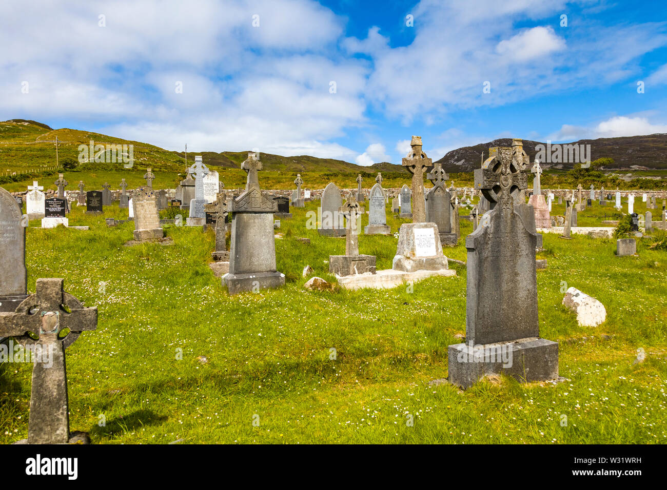 Faulmore CemeteryCemetery · 2.5 mi
Explorer Tom Faulmore Cemetery in County Mayo is having a moment of pure existential dread right now. It’s probably posting…
 GeachtaIslet · 3.5 mi
Explorer Tom Geachta is the spot where a fiddler played all night until his fingers turned to stone. He was so good he forgot to…
 CastleCastle, unclassified · 4.0 mi
Explorer Tom Castle in County Mayo is so unclassified that a goat once ruled it for an entire summer. The locals still pay tribute…
 Cuan an Fhóid DuibhBay · 4.1 mi
Explorer Tom Blacksod Bay is wide enough to swallow one of my directions and still have room for the boat. It runs roughly sixteen…
 Keel BeachBeach / strand · 11 mi
Explorer Tom Keel Beach runs for kilometres beneath Achill's mountains, with Minaun's cliffs at one end and wide Atlantic air…
More archaeology and monuments in County Mayo · All of County Mayo

What do you know about this place?Tap to add a comment or ask a question