
What is recorded here
In pasture, located on a ridge, utilising the break of slope at NNW. A stream/drain, coinciding with the townland boundary, is 70m to NW.
This rath is indicated as a circular embanked enclosure on the 1838 OS 6-inch map; it is not shown on later map editions.
The remains consist of a slightly raised area (33m NE−SW; c. 33m NW−SE), originally circular but now squarish in plan as a result of being boxed in on all sides by straight field fences. Low remnants of the original curving scarp can still be traced at N, NE (H 0.5m) and E, but are subsumed into straight field fences, engulfed in thorn bushes, at SW and NW. The interior is fairly level and grassy, with a shallow oval hollow (c. 3m NW−SE; c. 2m NE−SW; D 0.4m) in the W quadrant. There is an area of quarrying/disturbance at the S-SSW edge of the rath.
Compiled by: Jane O’Shaughnessy
Date of upload: 25 November 2021
The monument record does not grant public access. Check the route and ask the landowner before entering private land.
- What survives
- Recorded monument
Places near here
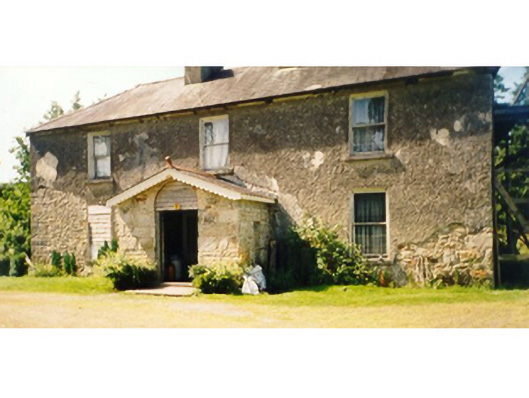 Killedan Housefarm house · 1.2 mi
 Kilkevna Church in ruinsChurch · 1.5 mi
 CrossCross · 2.1 mi
 I'll Send You The FareMemorial · 2.2 mi
 Enclosure in RathrowanEnclosure · 2.3 mi
 Kiltimagh MuseumMuseum · 2.5 mi
 Carrowbeg WoodWood · 2.5 mi
 CashlankeeghCastle, unclassified · 2.8 mi
 Thorn CaveCave · 3.1 mi
 Castle in RuinsCastle, unclassified · 4.2 mi
 Michael DavittMemorial · 5.1 mi
 Brabazon WoodsForest · 6.2 mi
Other information
Photo: Credit not shown in the picture search · Rights wording not checked; contact us if this picture should be removed