What is recorded here
In pasture, on gentle NNE-facing slope. Circular area (diam. 20.5m) enclosed by earth-and-stone bank (int. H 0.45m; ext. H 0.75m), best preserved along S and W arcs where stone-faced externally, but much degraded NE->ESE where it has becoming scarp-like in profile. Enclosing element and level interior are masked by dense overgrowth though there are some clearings along E and W verges of interior.
Compiled by: Denis Power
Date of upload: 26 August 2011
See attached ASI aerial photographs ASIAP – taken on 04/03/2006.
The monument record does not grant public access. Check the route and ask the landowner before entering private land.
- What survives
- Recorded monument
Places near here
 IndicatedFairy fort / stone ringfort · 393 yd
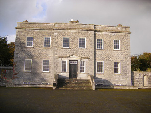 Altavilla Housecountry house · 1006 yd
 Fulacht fia in LismakeeryFulacht fia · 1180 yd
 creamerycreamery · 1299 yd
 Lismakeery Castle (in ruins)Castle, tower house · 1327 yd
 Milltown Castle (in ruins)Castle, tower house · 1495 yd
 Askeaton CastleHeritage attraction · 2.5 mi
 TobernablahySpring · 3.3 mi
 St. Kieran's WellSpring · 3.6 mi
 Holly IslandIslet · 3.7 mi
 Flat cemetery in CroaghFlat cemetery · 4.6 mi
 Little HeavenHeritage attraction · 5.2 mi