
What is recorded here
On a narrow level terrace on the W face of steep sided ridge. Not marked on the 1842 ed. of the OS 6-inch map but indicated with a solid line on the 1915 ed. A subcircular enclosure (c. 26m N-S; c. 25m E-W) defined by a drystone wall SE-NE that may be built on an older wall is visible on Digital Globe (2011-13). This forms part of a field system (CL006-009003-) around a cashel (CL006-009----) c. 60m to the NW.
Compiled by: Mary Tunney
Date of upload: 28 April 2021
Aillwee is a subcircular early-medieval ringfort, likely dating to between the 6th and 10th centuries, situated on a narrow terrace on the west face of a steep ridge. The site is associated with local folklore referring to "Aillwee," a term linked to fairy or supernatural habitation in Irish tradition.
The monument record does not grant public access. Check the route and ask the landowner before entering private land.
- What survives
- Recorded monument
Places near here
 Castle Mael (in ruins)Castle, unclassified · 595 yd
 Enclosure in AillweeEnclosure · 1279 yd
 Enclosure in Deelin MoreEnclosure · 1460 yd
 Turlough CastleArchaeological place · 1661 yd
 Moneen MountainMountain / peak · 1.6 mi
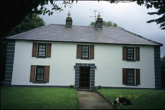 Abbey Househouse · 2.0 mi
 Aillwee Cave Visitor Centreheritage centre/interpretative centre · 2.2 mi
 Aillwee CaveCave · 2.2 mi
 Bird Of Prey CentreHeritage attraction · 2.3 mi
 PoulnabroneMemorial · 3.1 mi
 Gleninshing portal tombHeritage attraction · 3.1 mi
 The Portal TombVisitor information · 3.7 mi
Other information
Photo: Credit not shown in the picture search · Rights wording not checked; contact us if this picture should be removed