
What is recorded here
Shown as a hachured enclosure on the 1st edition OS 6-inch map with a road running N-S through it. A NE section of hachured enclosure is shown on the current OS 6-inch map. The site has since been removed by a quarrying.
Compiled by: Geraldine Stout
Date of upload: 22 October 2013
The monument record does not grant public access. Check the route and ask the landowner before entering private land.
- What survives
- Recorded monument
Places near here
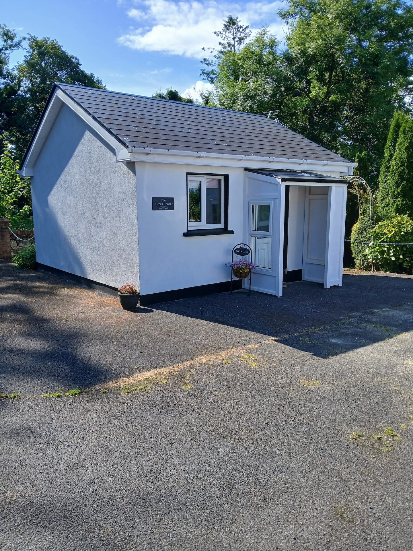 Enclosure in Aghamore FarEnclosure · 402 yd
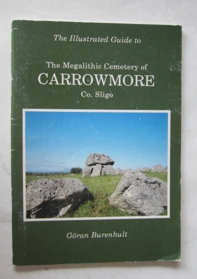 TobernacaltraghHoly well · 677 yd
 Aghamore BayBay · 1160 yd
 Tobernalt Holy WellSpring · 1217 yd
 Green IslandIslet · 1220 yd
 Bernard's IslandIslet · 1.1 mi
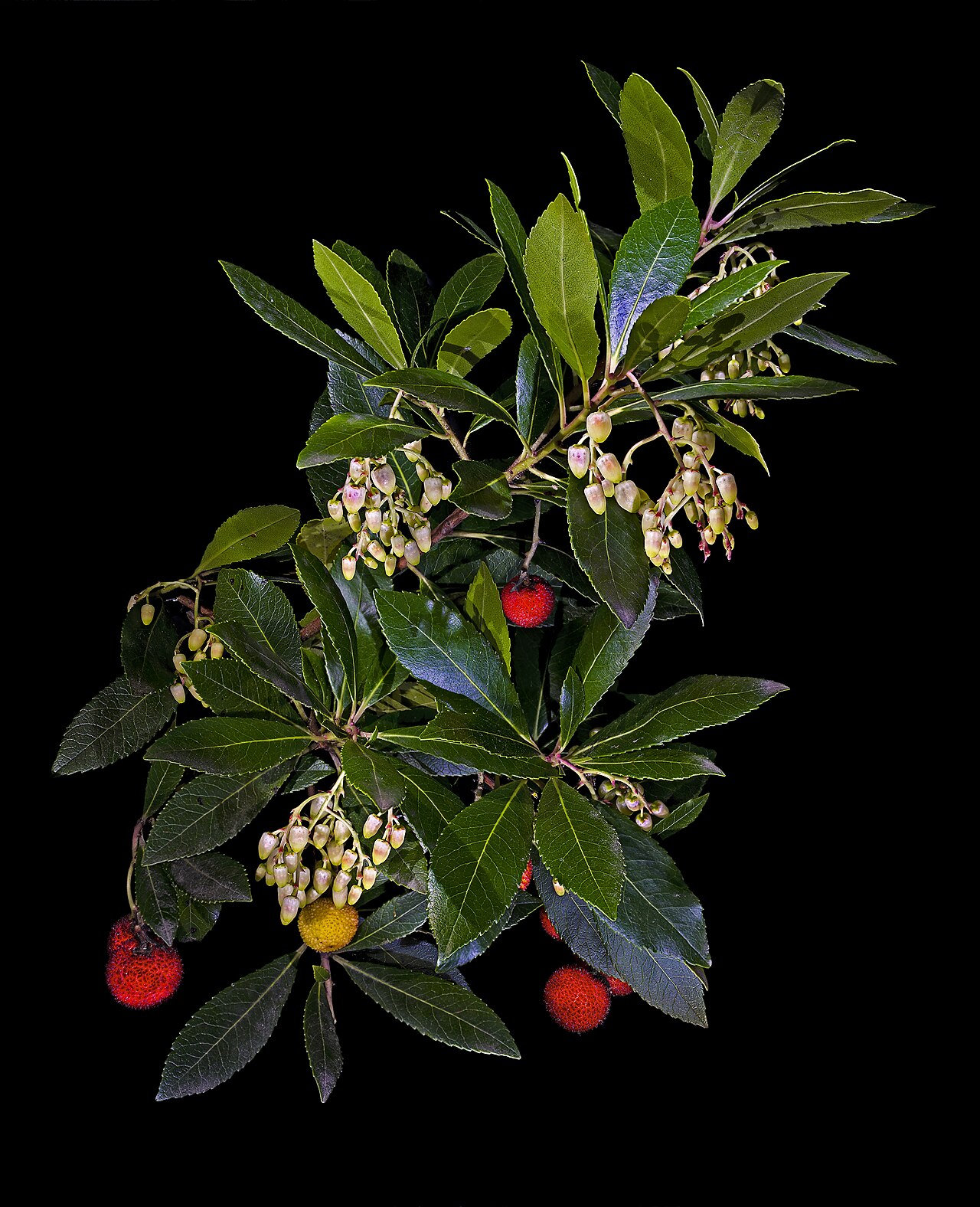 Strawberry treeStrawberry tree · 1.3 mi
 Tiffin's IslandWood · 1.4 mi
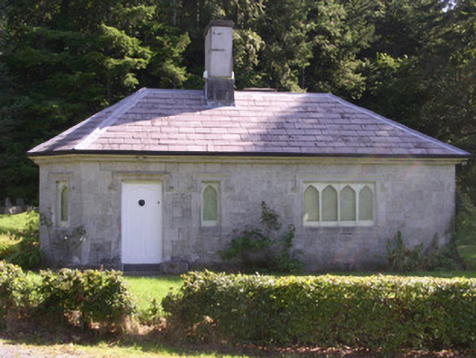 gate lodgegate lodge · 1.6 mi
 Hazelwood Housecountry house · 1.7 mi
 Half Moon BayBay · 1.9 mi
 Castle PointCastle, unclassified · 2.0 mi
Other information
Photo: Credit not shown in the picture search · Rights wording not checked; contact us if this picture should be removed