What is recorded here
Situated on the S bank of a NW-SE section of the Cavan Blackwater River and c. 120m NW of the site of St Mary’s Augustinian abbey (ME025-024----). Archaeological testing (98E0184) by F. Reilly on the line of a new road (dims c. 110m N-S c. 40m E-W) encountered a modern overburden (D up to 6m) in seven test trenches which covered post-medieval deposits. In trench 6 a cobbled surface (Wth 1.3m) was bounded by a stone kerb at the N side and a slightly later E-W wall (Wth 0.6m) on the other. South of the wall was the NE end of a second wall (Wth 0.6m) that survived largely intact (H 1.35m) beneath the overburden but stopped c. 1.2m short of the E-W wall. The E-W wall is thought to be part of a lane that is depicted on the 1836 edition of the OS 6-inch map. (Reilly 1998)
Compiled by: Michael Moore
Date of upload: 29 March 2023
Reilly, F. 1998 Archaeological Investigation. Navan Inner Relief Road, Navan, Co. Meath. Licence: 98E0184 Unpublished report, Valerie J. Keeley Archaeological Consultancy
The monument record does not grant public access. Check the route and ask the landowner before entering private land.
- What survives
- Recorded monument
Places near here
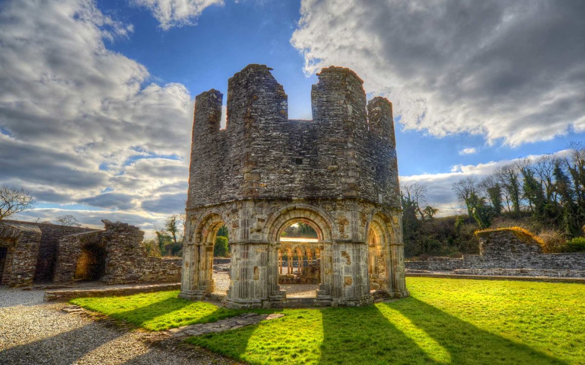 Burnt spread in Abbeyland SouthBurnt spread · 42 yd
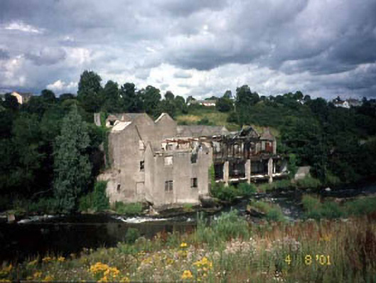 mill (water)mill (water) · 70 yd
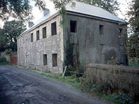 Blackwater Househouse · 77 yd
 Font in Abbeyland SouthFont · 176 yd
 The RampartWood · 667 yd
 CastleCastle, motte · 1182 yd
 Nangle CourtMemorial · 1198 yd
 Blackcastle DemesneWood · 1.4 mi
 Donaghmore Round TowerHeritage attraction · 1.4 mi
 Rathaldron Ho.Castle, tower house · 1.6 mi
 Carn HillMountain / peak · 2.6 mi
 BohermeenMountain / peak · 3.6 mi