
What is recorded here
Map note: Inchmartine Standing Stone, an ancient site, is mapped near Inchmartine, Perth and Kinross, Scotland. There is no need to invent a lost kingdom to make the name interesting.
From OpenStreetMap (© OpenStreetMap contributors) n2166017640
Places near here
Photo credits
- Stanley Howe, Wikimedia Commons · CC BY-SA 2.0
- Maker not stated on source page, uk.pinterest.com
- Mike Pennington, Wikimedia Commons · CC BY-SA 2.0
- Scott Cormie, Wikimedia Commons · CC BY-SA 2.0
- James Allan, Wikimedia Commons · CC BY-SA 2.0
- David Dixon, Wikimedia Commons · CC BY-SA 2.0
- Glyn Baker, Wikimedia Commons · CC BY-SA 2.0
- Maker not stated on source page, au.pinterest.com
- Maker not stated on source page, ru.advisor.travel
- Maker not stated on source page, www.alamy.com
 Inchmartine HouseStanding Stone (prehistoric) (possible) · 3 yd
 Inchmartine House, Estate BridgeArchitectural Fragment(s) (17th Century), Road Bridge (18th Century) - (19th Century) · 311 yd
 BalgayFarmhouse · 977 yd
 WestownBurial Ground (medieval), Church (medieval) · 1334 yd
 North GrangeRing Ditch(s) · 1444 yd
 InchturePit(s), Rig and Furrow (medieval) - (post Medieval), Roundhouse (prehistoric), Unidentified Pottery (12th Century) · 1.0 mi
 New MainsFarmhouse (19th Century), Farmstead (19th Century) · 1.0 mi
 Kinnaird CastleTower House (medieval) · 1.5 mi
 Cairn O'Mohr WineryHeritage attraction · 1.6 mi
Explorer Tom Cairn O'Mohr is a winery near Errol where fruit, leaves and flowers get the sort of grand reception that grapes usually…
 Fingask Castle, Fernery and SmithyFernery (garden) (19th Century), Smithy (19th Century) · 2.0 mi
 Megginch CastleCastle (15th Century), Tower House (16th Century) · 2.2 mi
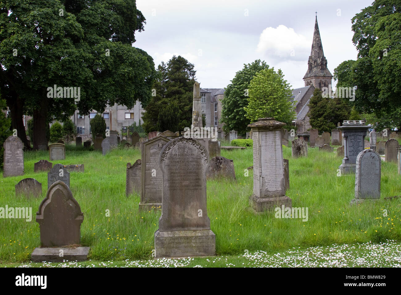 Mapped cemeteryCemetery · 2.7 mi
More archaeology and monuments in Perth and Kinross · All of Perth and Kinross

What do you know about this place?Tap to add a comment or ask a question