
What is recorded here
Map note: Inch Park Play Area, a children's playground, is mapped near Brechin, Angus, Scotland. See what else is around it before planning your day.
From OpenStreetMap (© OpenStreetMap contributors) w651201051
Places near here
Photo credits
- Maker not stated on source page, www.pluscardenabbey.org
- Maker not stated on source page, www.scotlandschurchestrust.org.uk
- Maker not stated on source page, en.wikipedia.org
- Anne Burgess, Wikimedia Commons · CC BY-SA 2.0
- Andrew Wood, Wikimedia Commons · CC BY-SA 2.0
- Richard Webb, Wikimedia Commons · CC BY-SA 2.0
- Maker not stated on source page, www.youtube.com
- Maker not stated on source page, commons.wikimedia.org
- Maker not stated on source page, www.alamy.com
 Brechin, Witchden Road, Maison Dieu Church of ScotlandChurch (late 19th Century) (1891) · 198 yd
 Brechin, Witchden Road, Maison Dieu Church of Scotland, GatepiersGate Pier (late 19th Century) (1891) · 203 yd
 Brechin, 65-75 Bridge StreetFlats (20th Century) · 251 yd
 BurghillCist(s) (prehistoric) - (early Medieval) · 270 ydBrechin, Bridge Street, GeneralGeneral View · 275 yd
 Skinner's BurnUnidentified Pottery (18th Century) · 286 yd
 Brechin, Nursery Lane, Andover Primary SchoolSchool (19th Century) · 293 yd
 Brechin CastleCastle (medieval), Tower House (medieval) · 361 yd
 Brechin, Brechin Castle, Garden Buildings and GlasshousesGarden Building(s) · 795 yd
 Brechin Castle Walled GardenGarden · 829 yd
 Brechin CemeteryCemetery · 954 yd
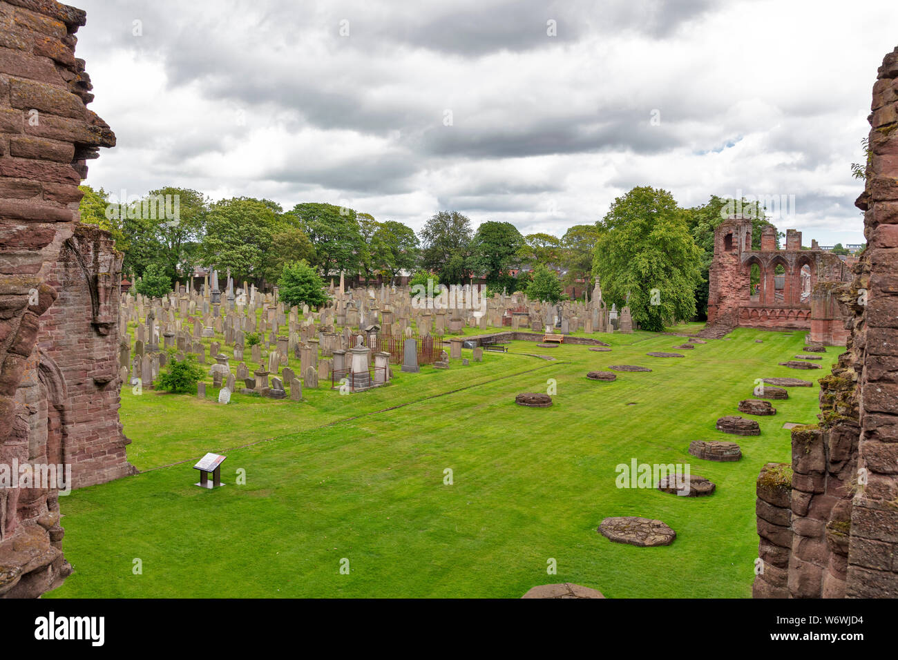 Mapped cemeteryCemetery · 1144 yd
More things to do in Angus · All of Angus

What do you know about this place?Tap to add a comment or ask a question