What is recorded here
In a low-lying area of marshy pasture, bounded by deep drainage dykes to the S and E and by the embankment of a disused railway line to the W. A roughly circular platform (26m N-S; 27.5m E-W) defined by a gradually sloping scarped edge (H 0.9m; Wth 6.7m). The surface of the platform is very uneven but generally slopes up towards the centre. Its surface is scattered with loose stones and the make-up of the platform appears to be a dump of stones. According to the landowner the mound formerly had a boat house standing on the top. The site is been subject to flooding (Anon 1901-4, 285-6).
Compiled by: Denis Power
Date of upload: 26 August 2011
The monument record does not grant public access. Check the route and ask the landowner before entering private land.
- What survives
- Recorded monument
Places near here
 Burial GroundBurial ground · 857 yd
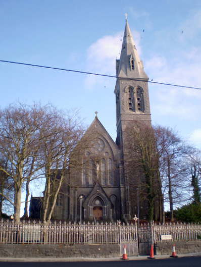 Saint Mary's Catholic Churchchurch/chapel · 876 yd
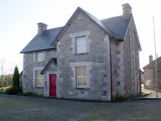 Irish Palatine Heritage Centrerailway station, goods shed · 922 yd
 RathkealeHistoric town · 1222 yd
 Bawn in StonevilleBawn · 1739 yd
 Glebe CastleCastle · 1.0 mi
 TobernablahySpring · 2.0 mi
 Flat cemetery in CroaghFlat cemetery · 2.4 mi
 St. Kieran's WellSpring · 3.1 mi
 European ashEuropean ash · 3.3 mi
 Flat cemetery in Kiltenan SouthFlat cemetery · 4.5 mi
 Askeaton CastleHeritage attraction · 4.9 mi