
What is recorded here
From the National Monuments Service (Archaeological Survey of Ireland) record LI020-113
Places near here
Photo credits
- Maker not stated on source page, www.tripadvisor.ie
- National Inventory of Architectural Heritage
- Kmcnamee, Wikimedia Commons · CC BY-SA 4.0
- Dedublinfan, Wikimedia Commons
- Maker not stated on source page, commons.wikimedia.org
- Maker not stated on source page, evoke.ie
- Maker not stated on source page, www.arrivalguides.com
- Mike Searle, Geograph · CC BY-SA 2.0
 CastleCastle, unclassified · 187 yd
Explorer Tom Locals swear by a superstition that if you trip over a stone near Kyletaun Castle, you’re forgiven for all past sins.…
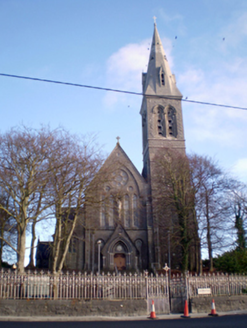 Saint Mary's Catholic ChurchChurch/chapel · 876 yd
Explorer Tom Saint Mary's Catholic Church in Rathkeale would be the uncle at a wedding who stands too close and talks about his…
 St. Mary's Sean Finns, Rathkeale GAA pitchGAA ground · 902 yd
 Irish Palatine Heritage CentreRailway station, goods shed · 922 yd
Explorer Tom Irish Palatine Heritage Centre in Rathkeale hates being compared to bigger stations, acting like a diva in a small town…
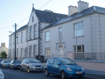 Saint Anne's ConventConvent/nunnery · 970 yd
Explorer Tom Saint Anne’s Convent in Rathkeale is probably dreaming about its twin convent in France right now. It looks serious…
 Mick Neville ParkGAA ground · 1053 yd
Explorer Tom Mick Neville Park announces itself at the gate, then lets Rathkeale's pitches do the arguing. Limerick's county board…
 Bank of IrelandBank/financial institution · 1059 yd
Explorer Tom Bank of Ireland in Rathkeale, County Limerick has a family tree that is mostly made up of very rich uncles and stone…
 The DeelHouse · 1077 yd
Explorer Tom The Deel on Main Street will tell you it once saw the future after three pints. It’s in poor repair but its shopfront…
 Graveyard in AbbeylandsGraveyard · 1176 yd
Explorer Tom Graveyard in Abbeylands is playing hard to get while a bird refuses to leave its perch. The bones got moved by a sewer…
 Fairy fort / earthen ringfort in BallingarraneFairy fort / earthen ringfort · 1702 yd
Explorer Tom This Fairy fort in Ballingarrane would tell its younger self to stop worrying so much. It survived the lime kiln…
 Memorial stone in EnniscoushMemorial stone · 1.0 mi
Explorer Tom Memorial stone in Enniscoush would have confused the Vikings who got lost looking for it. It commemorates a Southwell…
 Castle MatrixCastle, tower house · 1.2 mi
Explorer Tom Castle Matrix brags constantly about surviving a massive storm that shook the very foundations of the earth. It claims…
More archaeology and monuments in County Limerick · All of County Limerick

What do you know about this place?Tap to add a comment or ask a question