What is recorded here
Annotated ‘Ice House’ on the 1837 edition of the Ordnance Survey six-inch map where it is depicted as a rectangular building with its long axis aligned north-south standing in woodland area on the demesne lands of Woodlands House (DU017-004----) standing 570m to the west. Building depicted standing in a woodland area close to a pathway on the 1863 edition of the Ordnance Survey 25-inch map with a watercourse 25m to the west and a spring well 20m to the north-east. Mature woodland visible in the area of the icehouse on the 2013-18 MapGenie orthoimage.
Compiled by: Caimin O'Brien
Date of Compilation: 26 November 2025
The monument record does not grant public access. Check the route and ask the landowner before entering private land.
- What survives
- Recorded monument
Places near here
 Luttrellstown CastleCastle · 632 yd
 Giant SequoiaGiant Sequoia · 648 yd
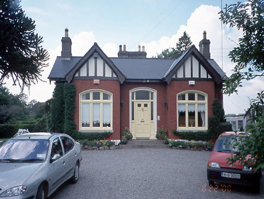 The Gableshouse · 844 yd
 BarrowBarrow, ring-barrow · 954 yd
 Rabbit WarrenWood · 977 yd
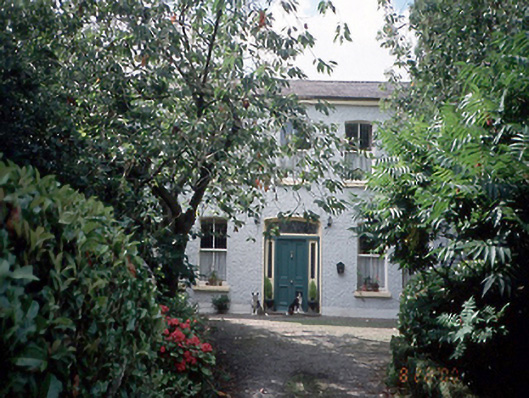 Astagob Housefarm house · 1019 yd
 Church, GraveyardChurch · 1215 yd
 CastleCastle, unclassified · 1348 yd
 Helter SkelterHeritage attraction · 1350 yd
 The Pirate ShipHeritage attraction · 1397 yd
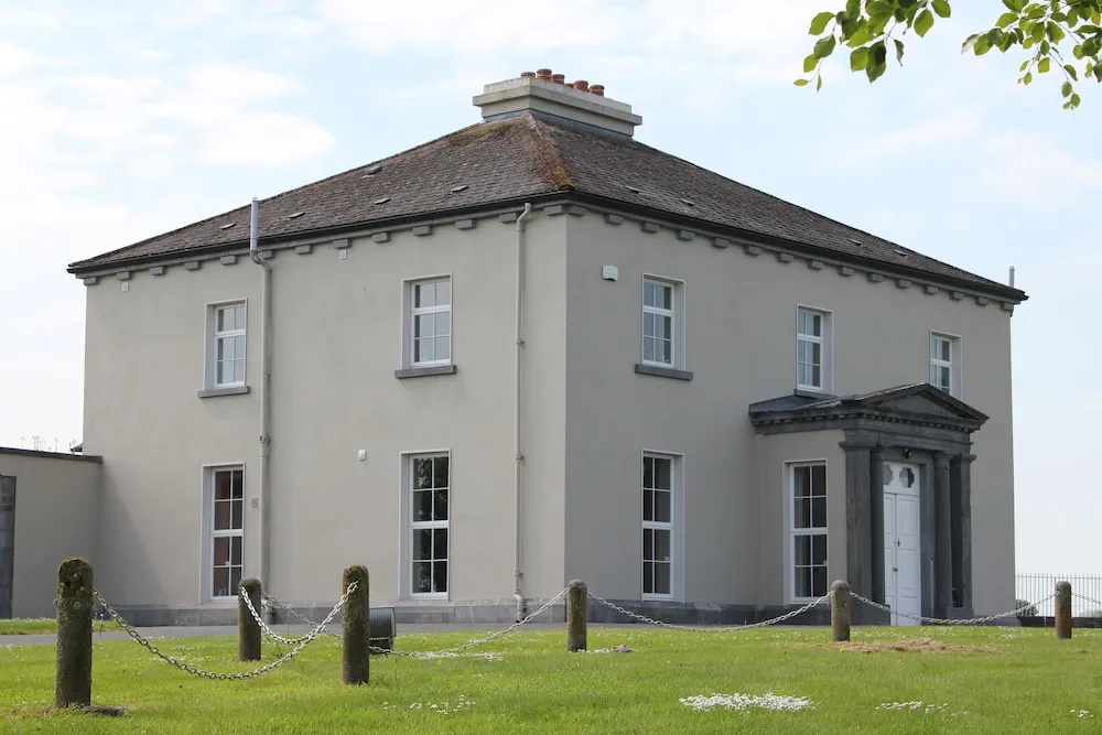 Enclosure in WoodvilleEnclosure · 1517 yd
 Blanchardstown Centre information deskVisitor information · 1.8 mi