What is recorded here
In pasture, located on the S-facing slope of Twomilestone ridge, just to N of the boundary of Twomilestone with Tullymore townland. This possible hut site was first recorded by Davies (1942, 99-100). He designated it ‘hut a’, and described it as a roughly rectangular hut which had ‘walls partly revetted with orthostatic slabs’ and ‘measured internally about 10 x 8 ft. [c. 3m x 2.5m]’. Inspected in 2015, the outline of a subrectangular area (c. 3-3.5m N−S; c. 2-2.5m E−W) is evident, defined by low, upright moss-covered stones which protrude 0.2-0.4m above the ground. It is incorporated into the NW side of a semi-circular field plot or small enclosure (c. 14m E−W; c. 10m N−S), largely obscured by scrub, which is defined on the curving side by a ruined, moss-covered field wall (Wth 1.6m; H 0.2-0.3m), and bordered on the straight S side by an extant field wall/property boundary coinciding with the townland boundary between Twomilestone and Tullymore. Another low ruined field wall extends from the N edge of the possible hut site on a sinuous course to N and NNW. These field boundaries are part of a relict field system (DG103-057001-) which traverses the ridge.
Compiled by: Jane O’Shaughnessy
Date of upload: 26 July 2016
The monument record does not grant public access. Check the route and ask the landowner before entering private land.
- What survives
- Recorded monument
Places near here
 Enclosure in Tullymore (ballyshannon Ed)Enclosure · 168 yd
 IndicatedCliff-edge fort · 323 yd
 Church in ArdgillewChurch · 1087 yd
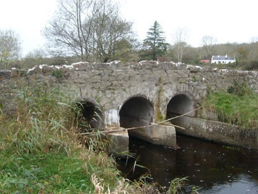 Tullymore Bridgebridge · 1389 yd
 HawthornHawthorn · 1.3 mi
 St Anne's Church GraveyardGraveyard · 2.2 mi
 CastleCastle, unclassified · 2.2 mi
 RossnowlaghOfficial bathing water · 2.3 mi
 Kilbarron Old Church GraveyardGraveyard · 2.4 mi
 Castle in ruinsCastle, unclassified · 2.6 mi
 Dark Cliffs at KilbarronPublicly named cliff or headland · 3.1 mi
 Wardtown StrandBeach / strand · 3.2 mi