What is recorded here
The following description is derived from both the published 'Archaeological Inventory of County Louth' (Dublin: Stationery Office, 1986) and the 'Archaeological Survey of County Louth' (Dublin: Stationery Office, 1991). In certain instances the entries have been revised and updated in the light of recent research.
Date of upload/revision: 17 July 2007
Situated on the upper NNW slopes of Slievenaglogh. Circular area with level interior (int. diam. 7.5m) enclosed by a low bank (Wth 1.4m, H 0.3m). No visible trace of original entrance.
This remains an important historical record, but the official description says the monument is no longer visible or has been destroyed. The monument record does not grant public access. Check the route and ask the landowner before entering private land.
- What survives
- No visible remains or recorded as destroyed
Places near here
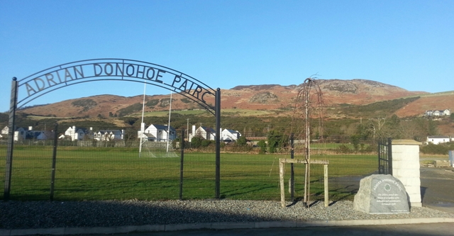 Enclosure in SlievenagloghEnclosure · 12 yd
 Annaloughan MountainMountain / peak · 707 yd
 SlievenagloghMountain / peak · 954 yd
 Enclosure in Mullaghattin (dundalk Lwr By; Ballymascanlan Par.)Enclosure · 1256 yd
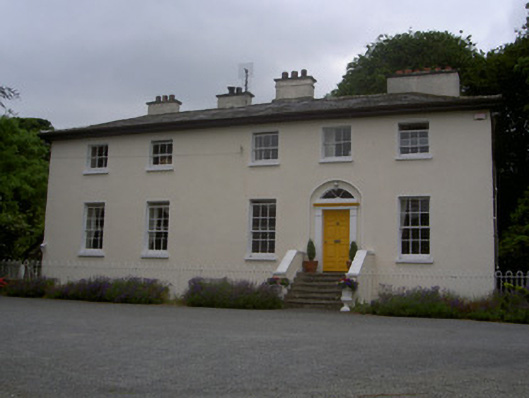 The Old Rectoryrectory/glebe/vicarage/curate's house · 1.3 mi
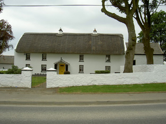 Rampark Farmhousehouse · 1.5 mi
 IndicatedBawn · 1.6 mi
 Mount Bagnell FoerCastle, motte and bailey · 2.3 mi
 Soldiers' PointHeadland · 3.2 mi
 Proleek DolmenArchaeological place · 3.3 mi
 Carlingford - Slieve Foye LoopWalking route · 3.4 mi
 Carlingford - Loop 1A- Commons LoopWalking route · 3.4 mi